Parepare night lights from space
Night Light of Parepare (South Sulawesi) from space (Indonesia) Src. Average luminocity for 10x10km area is 28.2662% and for 50x50km: 2.1032%.
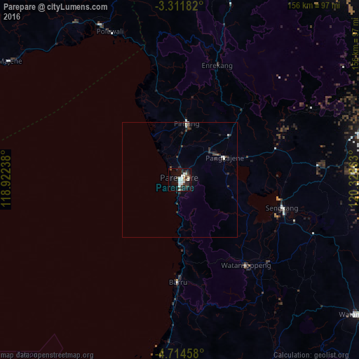

Analysis of Parepare night lights 2016
Square area 10x10 km:
 3.68%
3.68%90-99
9.31%80-89
2.16%70-79
0.87%60-69
0.87%50-59
1.73%40-49
4.55%30-39
6.49%20-29
10.17%10-19
22.08%0-9
38.1%Square area 50x50 km:
0.27%90-99
0.53%80-89
0.08%70-79
0.03%60-69
0.05%50-59
0.08%40-49
0.48%30-39
0.62%20-29
0.92%10-19
1.06%0-9
95.86%Clear (daylight) street map image can be seen on geolist.org.
Map coordinates:
3° 18' 42.6" South, 118° 55' 20.6" East
4° 0' 48.6" South, 119° 37' 31.8" East
4° 42' 52.5" South, 120° 19' 43.1" East
Some cities around Parepare sort by population:
• Makassar
128 km =79.5 mi,  189°
189°
• Palopo
130 km =80.8 mi,  29°
29°
• Watampone
97.3 km =60.5 mi,  126°
126°
• Sengkang
46.6 km =29 mi,  105°
105°
• Polewali
71.8 km =44.6 mi,  334°
334°
• Rantepao
119.9 km =74.5 mi,  14°
14°
• Majene
89.7 km =55.7 mi,  305°
305°
• Maros
110.5 km =68.7 mi,  183°
183°
1632353 (p: 140,000)
Sources (retrieved 2019-11-25):
» NASA, Earths city lights 1995
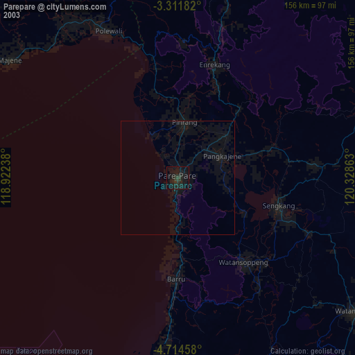
» NASA city lights 2003
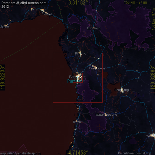
» Earth at Night: Flat Maps 2012, 2016