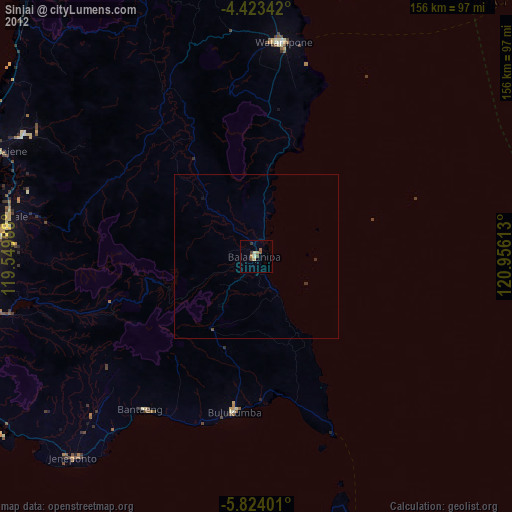
Sinjai night lights from space
Night Light of Sinjai (South Sulawesi) from space (Indonesia) Src. Average luminocity for 10x10km area is 10.1901% and for 50x50km: 1.1201%.
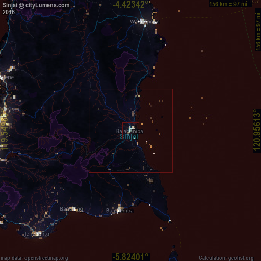
Analysis of Sinjai night lights 2016
Square area 10x10 km:
 1.86%
1.86%90-99
2.07%80-89
2.07%70-79
1.45%60-69
0%50-59
0%40-49
0.83%30-39
1.65%20-29
0.83%10-19
0.83%0-9
88.43%Square area 50x50 km:
0.09%90-99
0.15%80-89
0.12%70-79
0.19%60-69
0.04%50-59
0%40-49
0.27%30-39
0.51%20-29
0.34%10-19
0.17%0-9
98.11%Clear (daylight) street map image can be seen on geolist.org.
Map coordinates:
4° 25' 24.3" South, 119° 32' 59.6" East
5° 7' 26.8" South, 120° 15' 10.8" East
5° 49' 26.4" South, 120° 57' 22.1" East
Some cities around Sinjai sort by population:
• Makassar
91 km =56.5 mi,  268°
268°
• Parepare
141.7 km =88 mi,  330°
330°
• Galesong
100.5 km =62.4 mi,  257°
257°
• Watampone
65.6 km =40.8 mi,  7°
7°
• Sengkang
113.5 km =70.5 mi,  347°
347°
• Polewali
213.4 km =132.6 mi, 331°
• Majene
226.3 km =140.6 mi,  321°
321°
• Maros
76.5 km =47.5 mi,  279°
279°
1626895 (p: 40,797)
Sources (retrieved 2019-11-25):
» Earth at Night: Flat Maps 2012, 2016