Makassar night lights from space
Night Light of Makassar (South Sulawesi) from space (Indonesia) Src. Average luminocity for 10x10km area is 88.188% and for 50x50km: 16.1043%.
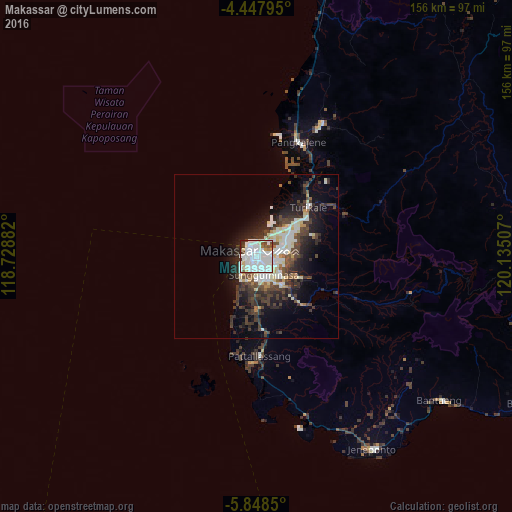
Analysis of Makassar night lights 2016
Square area 10x10 km:
 39.67%
90-99
36.57%80-89
4.75%70-79
2.48%60-69
1.65%50-59
3.93%40-49
3.51%30-39
3.31%20-29
3.51%10-19
0.62%0-9
0%Square area 50x50 km:
3.29%90-99
4.05%80-89
1.56%70-79
0.64%60-69
0.86%50-59
0.98%40-49
3.82%30-39
3.8%20-29
4.84%10-19
7.41%0-9
68.77%Clear (daylight) street map image can be seen on geolist.org.
Map coordinates:
4° 26' 52.6" South, 118° 43' 43.8" East
5° 8' 55" South, 119° 25' 55" East
5° 50' 54.6" South, 120° 8' 6.3" East
Some cities around Makassar sort by population:
• Parepare
128 km =79.5 mi,  9°
9°
• Galesong
20.1 km =12.5 mi,  201°
201°
• Watampone
120.2 km =74.7 mi,  55°
55°
• Sengkang
131.4 km =81.6 mi,  30°
30°
• Polewali
191.1 km =118.7 mi,  357°
357°
• Sinjai
91 km =56.5 mi,  88°
88°
• Majene
186 km =115.6 mi,  344°
344°
• Maros
22.2 km =13.8 mi,  44°
44°
1622786 (p: 1,321,717)
Sources (retrieved 2019-11-25):
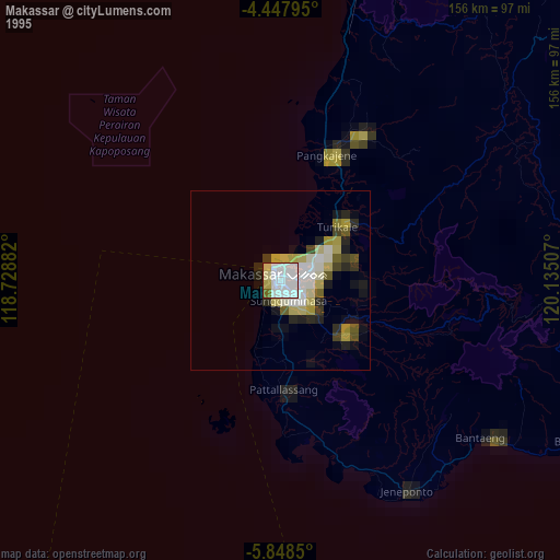
» NASA, Earths city lights 1995
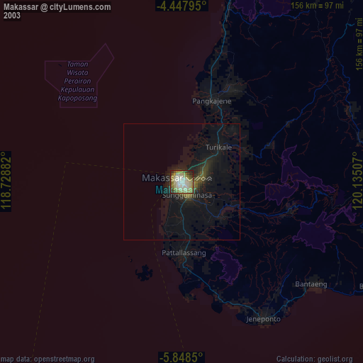
» NASA city lights 2003
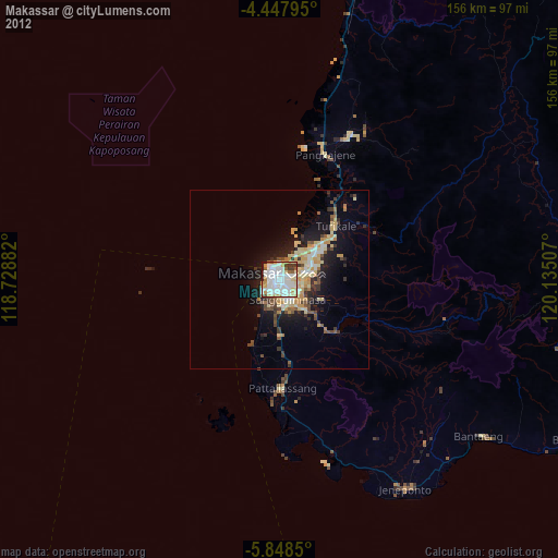
» Earth at Night: Flat Maps 2012, 2016