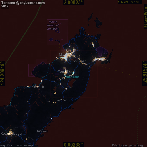
Tondano night lights from space
Night Light of Tondano (North Sulawesi) from space (Indonesia) Src. Average luminocity for 10x10km area is 14.8442% and for 50x50km: 9.2831%.
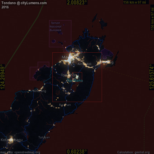
Analysis of Tondano night lights 2016
Square area 10x10 km:
 0.87%
0.87%90-99
1.95%80-89
1.73%70-79
1.52%60-69
0%50-59
2.38%40-49
8.23%30-39
1.52%20-29
0.87%10-19
6.71%0-9
74.24%Square area 50x50 km:
0.8%90-99
1%80-89
1.1%70-79
2.14%60-69
0.86%50-59
0.97%40-49
1.99%30-39
1.31%20-29
2.45%10-19
5.82%0-9
81.57%Clear (daylight) street map image can be seen on geolist.org.
Map coordinates:
2° 0' 29.6" North, 124° 12' 34.2" East
1° 18' 19.4" North, 124° 54' 45.4" East
0° 36' 8.6" North, 125° 36' 56.7" East
Some cities around Tondano sort by population:
• Manado
20.9 km =13 mi,  340°
340°
• Gorontalo
222.7 km =138.4 mi,  247°
247°
• Ternate
280.7 km =174.4 mi,  101°
101°
• Luwuk
344.7 km =214.2 mi,  223°
223°
• Sofifi
300.9 km =187 mi, 102°
• Tomohon
12.2 km =7.6 mi,  275°
275°
• Tobelo
347.4 km =215.9 mi,  82°
82°
• Laikit, Laikit II (Dimembe)
21.5 km =13.4 mi,  18°
18°
1623424 (p: 33,317)
Sources (retrieved 2019-11-25):
» Earth at Night: Flat Maps 2012, 2016