Sofifi night lights from space
Night Light of Sofifi (North Maluku) from space (Indonesia) Src. Average luminocity for 10x10km area is 3.2316% and for 50x50km: 1.4376%.
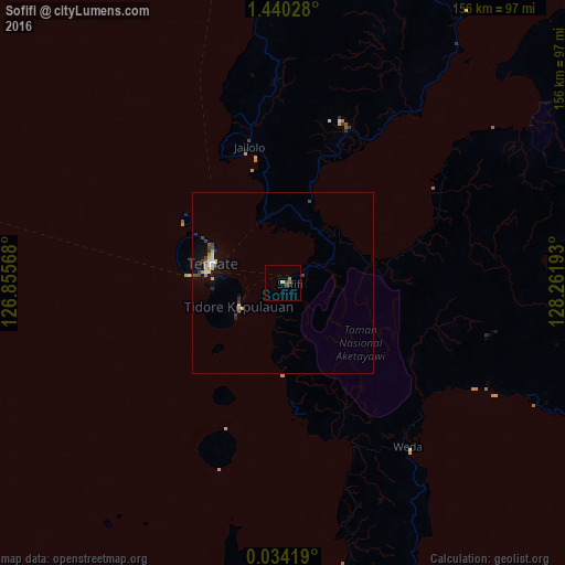
Analysis of Sofifi night lights 2016
Square area 10x10 km:
 0%
0%90-99
0.43%80-89
0.43%70-79
0.43%60-69
1.3%50-59
0%40-49
0.87%30-39
0.87%20-29
0.87%10-19
0%0-9
94.81%Square area 50x50 km:
0.18%90-99
0.15%80-89
0.22%70-79
0.2%60-69
0.1%50-59
0.1%40-49
0.22%30-39
0.45%20-29
0.21%10-19
0.87%0-9
97.31%Clear (daylight) street map image can be seen on geolist.org.
Map coordinates:
1° 26' 25" North, 126° 51' 20.4" East
0° 44' 14.2" North, 127° 33' 31.7" East
0° 2' 3.1" North, 128° 15' 42.9" East
Some cities around Sofifi sort by population:
• Manado
312.4 km =194.1 mi,  285°
285°
• Sorong
449.2 km =279.1 mi,  113°
113°
• Ternate
20.3 km =12.6 mi, 286°
• Tondano
300.9 km =187 mi,  282°
282°
• Tomohon
313 km =194.5 mi, 281°
• Tobelo
121.1 km =75.2 mi,  24°
24°
• Laikit, Laikit II (Dimembe)
299.2 km =185.9 mi, 286°
• Tobi Village, PW
469.4 km =291.7 mi,  57°
57°
1626698 (p: 36,197)
Sources (retrieved 2019-11-25):
» Earth at Night: Flat Maps 2012, 2016