Tomohon night lights from space
Night Light of Tomohon (North Sulawesi) from space (Indonesia) Src. Average luminocity for 10x10km area is 17.1558% and for 50x50km: 8.7485%.
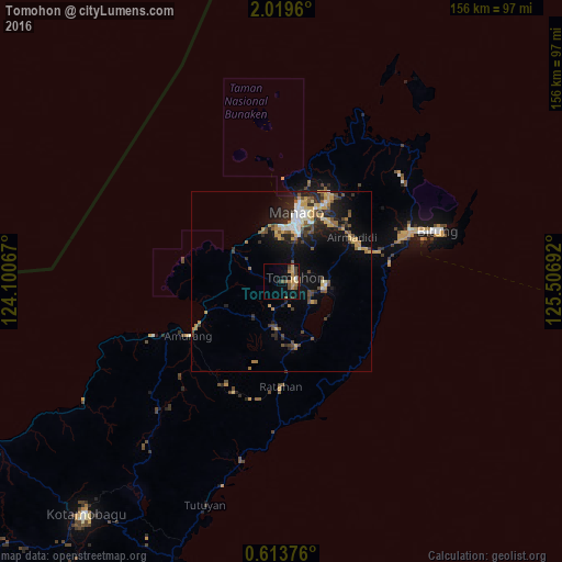
Analysis of Tomohon night lights 2016
Square area 10x10 km:
 0.43%
0.43%90-99
0.43%80-89
3.03%70-79
4.33%60-69
3.46%50-59
2.6%40-49
6.28%30-39
1.52%20-29
0.87%10-19
5.41%0-9
71.65%Square area 50x50 km:
0.81%90-99
0.98%80-89
1.03%70-79
1.84%60-69
0.86%50-59
0.95%40-49
2.04%30-39
1.2%20-29
2.67%10-19
5.35%0-9
82.27%Clear (daylight) street map image can be seen on geolist.org.
Map coordinates:
2° 1' 10.6" North, 124° 6' 2.4" East
1° 19' 0.4" North, 124° 48' 13.6" East
0° 36' 49.5" North, 125° 30' 24.9" East
Some cities around Tomohon sort by population:
• Manado
19.1 km =11.9 mi,  15°
15°
• Gorontalo
212.1 km =131.8 mi,  245°
245°
• Ternate
292.8 km =181.9 mi,  101°
101°
• Luwuk
337.4 km =209.7 mi,  221°
221°
• Sofifi
313 km =194.5 mi, 101°
• Tondano
12.2 km =7.6 mi, 95°
• Tobelo
359.2 km =223.2 mi,  82°
82°
• Laikit, Laikit II (Dimembe)
26.9 km =16.7 mi,  44°
44°
1623446 (p: 27,624)
Sources (retrieved 2019-11-25):
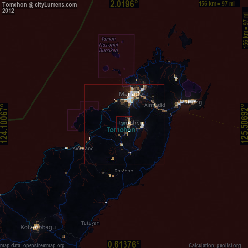
» Earth at Night: Flat Maps 2012, 2016