Gorontalo night lights from space
Night Light of Gorontalo from space (Indonesia) Src. Average luminocity for 10x10km area is 50.1558% and for 50x50km: 3.8178%.
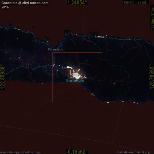
Analysis of Gorontalo night lights 2016
Square area 10x10 km:
 9.74%
9.74%90-99
26.62%80-89
1.3%70-79
0%60-69
0.43%50-59
0%40-49
9.31%30-39
6.28%20-29
15.37%10-19
25.32%0-9
5.63%Square area 50x50 km:
0.49%90-99
1.43%80-89
0.16%70-79
0.14%60-69
0.06%50-59
0.03%40-49
0.74%30-39
0.62%20-29
1.2%10-19
3.53%0-9
91.59%Clear (daylight) street map image can be seen on geolist.org.
Map coordinates:
1° 14' 25.9" North, 122° 21' 33.8" East
0° 32' 15" North, 123° 3' 45" East
0° 9' 56.2" South, 123° 45' 56.3" East
Some cities around Gorontalo sort by population:
• Manado
224.7 km =139.6 mi,  62°
62°
• Palu
389.6 km =242.1 mi,  245°
245°
• Ternate
481.3 km =299.1 mi,  86°
86°
• Luwuk
168.4 km =104.6 mi,  190°
190°
• Poso
334.9 km =208.1 mi,  230°
230°
• Tondano
222.7 km =138.4 mi,  67°
67°
• Tomohon
212.1 km =131.8 mi, 65°
• Laikit, Laikit II (Dimembe)
237.4 km =147.5 mi, 63°
1643837 (p: 144,195)
Sources (retrieved 2019-11-25):
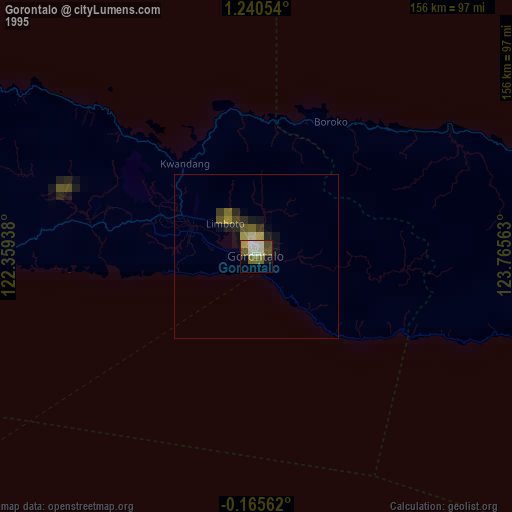
» NASA, Earths city lights 1995
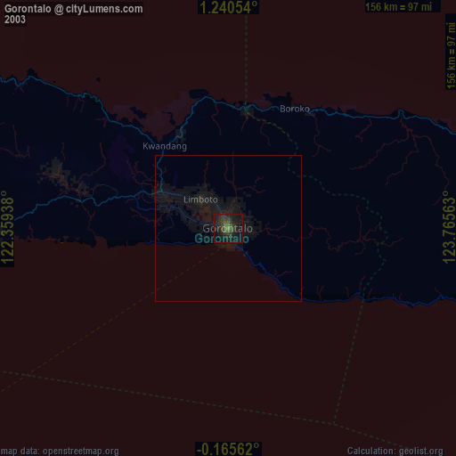
» NASA city lights 2003
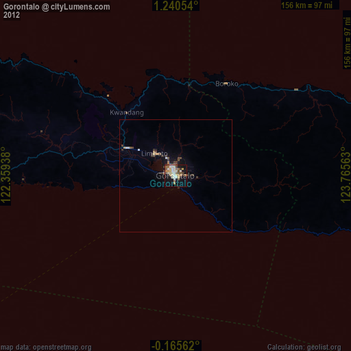
» Earth at Night: Flat Maps 2012, 2016