Laikit, Laikit II (Dimembe) night lights from space
Night Light of Laikit, Laikit II (Dimembe) (North Sulawesi) from space (Indonesia) Src. Average luminocity for 10x10km area is 15.881% and for 50x50km: 10.331%.
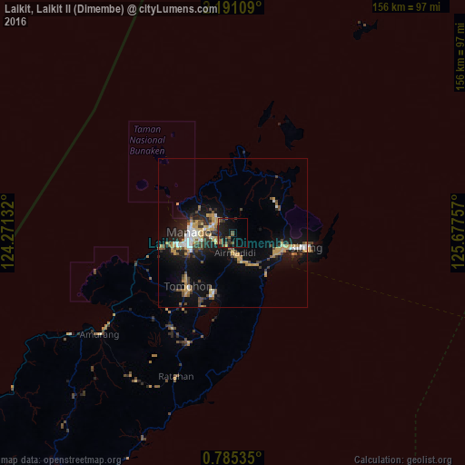
Analysis of Laikit, Laikit II (Dimembe) night lights 2016
Square area 10x10 km:
 0%
0%90-99
0%80-89
0%70-79
3.03%60-69
2.6%50-59
3.46%40-49
5.84%30-39
1.73%20-29
6.93%10-19
23.16%0-9
53.25%Square area 50x50 km:
1.04%90-99
1.19%80-89
1.19%70-79
2.38%60-69
0.8%50-59
1.06%40-49
1.96%30-39
1.17%20-29
2.64%10-19
8.11%0-9
78.46%Clear (daylight) street map image can be seen on geolist.org.
Map coordinates:
2° 11' 27.9" North, 124° 16' 16.8" East
1° 29' 18" North, 124° 58' 28" East
0° 47' 7.3" North, 125° 40' 39.3" East
Some cities around Laikit, Laikit II (Dimembe) sort by population:
• Manado
14 km =8.7 mi,  267°
267°
• Gorontalo
237.4 km =147.5 mi,  243°
243°
• Ternate
278.9 km =173.3 mi,  106°
106°
• Luwuk
364.3 km =226.4 mi,  221°
221°
• Sofifi
299.2 km =185.9 mi, 106°
• Tondano
21.5 km =13.4 mi,  198°
198°
• Tomohon
26.9 km =16.7 mi, 224°
• Tobelo
338.4 km =210.3 mi,  85°
85°
1638754 (p: 8,000)
Sources (retrieved 2019-11-25):
» Earth at Night: Flat Maps 2012, 2016