Tobelo night lights from space
Night Light of Tobelo (North Maluku) from space (Indonesia) Src. Average luminocity for 10x10km area is 10.0628% and for 50x50km: 0.4565%.
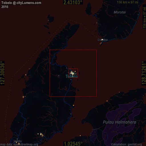
Analysis of Tobelo night lights 2016
Square area 10x10 km:
 0%
0%90-99
0.65%80-89
2.81%70-79
2.81%60-69
2.38%50-59
0%40-49
1.08%30-39
2.38%20-29
1.73%10-19
0.87%0-9
85.28%Square area 50x50 km:
0%90-99
0.03%80-89
0.11%70-79
0.11%60-69
0.1%50-59
0%40-49
0.04%30-39
0.13%20-29
0.14%10-19
0.04%0-9
99.3%Clear (daylight) street map image can be seen on geolist.org.
Map coordinates:
2° 25' 51.7" North, 127° 18' 22.9" East
1° 43' 42.1" North, 128° 0' 34.1" East
1° 1' 31.6" North, 128° 42' 45.4" East
Some cities around Tobelo sort by population:
• Manado
352.3 km =218.9 mi,  265°
265°
• Sorong
463.4 km =287.9 mi,  128°
128°
• Ternate
125.3 km =77.9 mi,  213°
213°
• Sofifi
121.1 km =75.2 mi,  204°
204°
• Tondano
347.4 km =215.9 mi,  262°
262°
• Tomohon
359.2 km =223.2 mi, 262°
• Laikit, Laikit II (Dimembe)
338.4 km =210.3 mi, 265°
• Tobi Village, PW
373.7 km =232.2 mi,  67°
67°
1623651 (p: 10,000)
Sources (retrieved 2019-11-25):
» Earth at Night: Flat Maps 2012, 2016