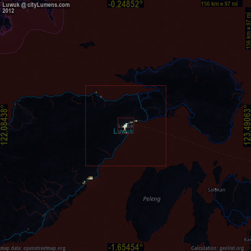
Luwuk night lights from space
Night Light of Luwuk (Central Sulawesi) from space (Indonesia) Src. Average luminocity for 10x10km area is 11.5368% and for 50x50km: 1.0001%.
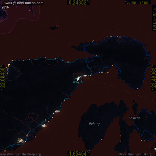
Analysis of Luwuk night lights 2016
Square area 10x10 km:
 3.03%
3.03%90-99
3.03%80-89
0%70-79
0%60-69
1.73%50-59
0%40-49
0.87%30-39
0.87%20-29
3.46%10-19
0.22%0-9
86.8%Square area 50x50 km:
0.24%90-99
0.21%80-89
0.07%70-79
0%60-69
0.07%50-59
0.2%40-49
0.11%30-39
0.03%20-29
0.21%10-19
0.01%0-9
98.85%Clear (daylight) street map image can be seen on geolist.org.
Map coordinates:
0° 14' 54.7" South, 122° 5' 3.8" East
0° 57' 5.8" South, 122° 47' 15" East
1° 39' 16.3" South, 123° 29' 26.3" East
Some cities around Luwuk sort by population:
• Manado
354.6 km =220.3 mi,  40°
40°
• Palu
324.3 km =201.5 mi,  270°
270°
• Kendari
337.8 km =209.9 mi,  185°
185°
• Gorontalo
168.4 km =104.6 mi,  10°
10°
• Poso
231.6 km =143.9 mi,  257°
257°
• Tondano
344.7 km =214.2 mi, 43°
• Tomohon
337.4 km =209.7 mi, 41°
• Laikit, Laikit II (Dimembe)
364.3 km =226.4 mi, 41°
1637001 (p: 47,778)
Sources (retrieved 2019-11-25):
» Earth at Night: Flat Maps 2012, 2016