Manado night lights from space
Night Light of Manado (North Sulawesi) from space (Indonesia) Src. Average luminocity for 10x10km area is 64.0455% and for 50x50km: 8.5679%.
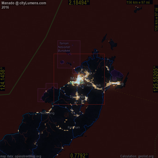
Analysis of Manado night lights 2016
Square area 10x10 km:
 17.97%
90-99
17.53%80-89
8.87%70-79
7.79%60-69
1.52%50-59
6.49%40-49
7.36%30-39
7.14%20-29
18.18%10-19
6.93%0-9
0.22%Square area 50x50 km:
0.83%90-99
0.98%80-89
1.04%70-79
1.81%60-69
0.69%50-59
1%40-49
1.73%30-39
1.01%20-29
2.47%10-19
6.03%0-9
82.42%Clear (daylight) street map image can be seen on geolist.org.
Map coordinates:
2° 11' 5.8" North, 124° 8' 44.9" East
1° 28' 55.8" North, 124° 50' 56.1" East
0° 46' 45.1" North, 125° 33' 7.4" East
Some cities around Manado sort by population:
• Gorontalo
224.7 km =139.6 mi,  242°
242°
• Ternate
292.1 km =181.5 mi,  105°
105°
• Luwuk
354.6 km =220.3 mi,  220°
220°
• Sofifi
312.4 km =194.1 mi, 105°
• Tondano
20.9 km =13 mi,  160°
160°
• Tomohon
19.1 km =11.9 mi,  195°
195°
• Tobelo
352.3 km =218.9 mi,  85°
85°
• Laikit, Laikit II (Dimembe)
14 km =8.7 mi, 87°
1636544 (p: 451,893)
Sources (retrieved 2019-11-25):
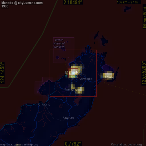
» NASA, Earths city lights 1995
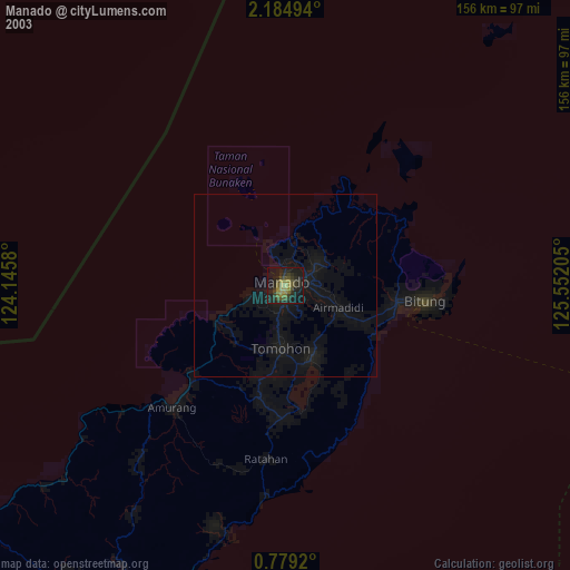
» NASA city lights 2003
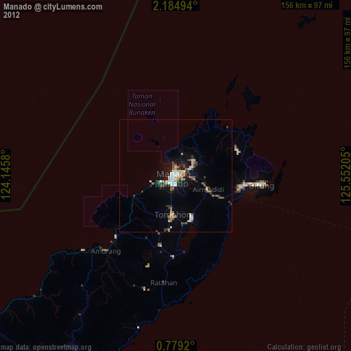
» Earth at Night: Flat Maps 2012, 2016