Tobi Village night lights from space
Night Light of Tobi Village (Hatohobei) from space (Palau) Src. Average luminocity for 10x10km area is 0% and for 50x50km: 0%.
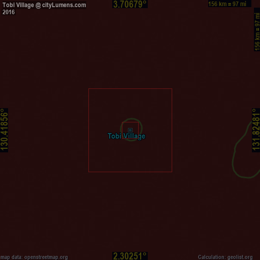
Analysis of Tobi Village night lights 2016
Square area 10x10 km:
 0%
0%90-99
0%80-89
0%70-79
0%60-69
0%50-59
0%40-49
0%30-39
0%20-29
0%10-19
0%0-9
100%Square area 50x50 km:
0%90-99
0%80-89
0%70-79
0%60-69
0%50-59
0%40-49
0%30-39
0%20-29
0%10-19
0%0-9
100%Clear (daylight) street map image can be seen on geolist.org.
Map coordinates:
3° 42' 24.4" North, 130° 25' 6.8" East
3° 0' 17.6" North, 131° 7' 18" East
2° 18' 9" North, 131° 49' 29.3" East
Some cities around Tobi Village sort by population:
• Sorong, ID
432.2 km =268.6 mi,  177°
177°
• Ternate, ID
482.8 km =300 mi,  239°
239°
• Manokwari, ID
540.3 km =335.7 mi,  142°
142°
• Sofifi, ID
469.4 km =291.7 mi, 237°
• Tobelo, ID
373.7 km =232.2 mi,  247°
247°
• Kloulklubed
567.4 km =352.6 mi,  37°
37°
• Angaur State
547 km =339.9 mi, 37°
• Sonsorol Village
285.4 km =177.3 mi,  25°
25°
7670730 (p: 44)
Sources (retrieved 2019-11-25):
» Earth at Night: Flat Maps 2012, 2016