Sorong night lights from space
Night Light of Sorong (West Papua) from space (Indonesia) Src. Average luminocity for 10x10km area is 18.0671% and for 50x50km: 1.5386%.
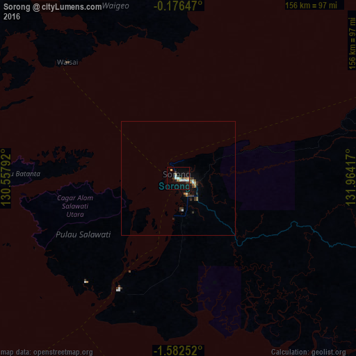
Analysis of Sorong night lights 2016
Square area 10x10 km:
 3.68%
3.68%90-99
3.25%80-89
1.73%70-79
1.73%60-69
2.6%50-59
0%40-49
0.87%30-39
3.46%20-29
0.87%10-19
18.83%0-9
62.99%Square area 50x50 km:
0.19%90-99
0.22%80-89
0.1%70-79
0.1%60-69
0.26%50-59
0.16%40-49
0.04%30-39
0.61%20-29
0.22%10-19
0.98%0-9
97.11%Clear (daylight) street map image can be seen on geolist.org.
Map coordinates:
0° 10' 35.3" South, 130° 33' 28.5" East
0° 52' 46.4" South, 131° 15' 39.7" East
1° 34' 57.1" South, 131° 57' 51" East
Some cities around Sorong sort by population:
• Ambon
463.6 km =288.1 mi,  227°
227°
• Ternate
469.3 km =291.6 mi,  293°
293°
• Manokwari
311.6 km =193.6 mi,  89°
89°
• Amahai
377.5 km =234.6 mi,  223°
223°
• Nabire
545.8 km =339.1 mi,  120°
120°
• Sofifi
449.2 km =279.1 mi, 293°
• Tobelo
463.4 km =287.9 mi,  308°
308°
• Tobi Village, PW
432.2 km =268.6 mi,  357°
357°
1626542 (p: 125,535)
Sources (retrieved 2019-11-25):
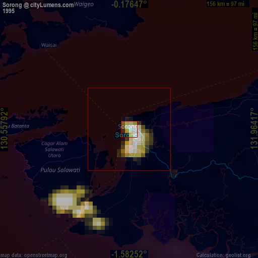
» NASA, Earths city lights 1995
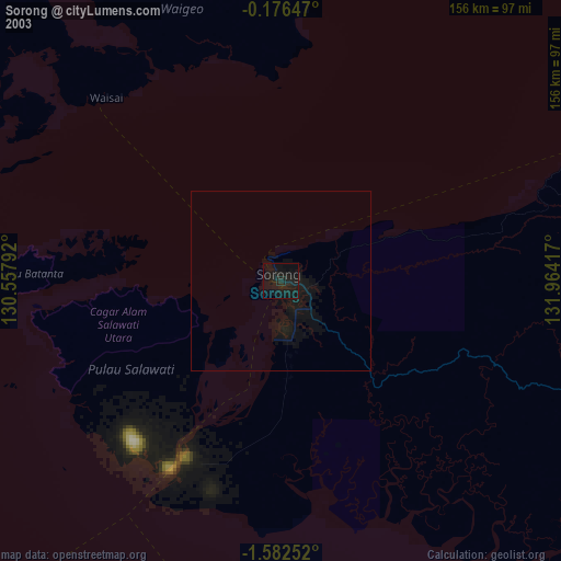
» NASA city lights 2003
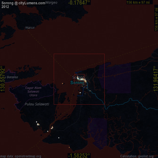
» Earth at Night: Flat Maps 2012, 2016