Majene night lights from space
Night Light of Majene (West Sulawesi) from space (Indonesia) Src. Average luminocity for 10x10km area is 2.829% and for 50x50km: 0.1207%.
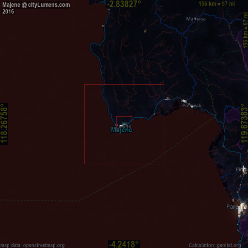
Analysis of Majene night lights 2016
Square area 10x10 km:
 1.08%
1.08%90-99
0.65%80-89
0%70-79
0%60-69
0%50-59
0%40-49
0.22%30-39
1.52%20-29
0.87%10-19
0%0-9
95.67%Square area 50x50 km:
0.04%90-99
0.03%80-89
0%70-79
0%60-69
0%50-59
0%40-49
0.01%30-39
0.06%20-29
0.07%10-19
0%0-9
99.79%Clear (daylight) street map image can be seen on geolist.org.
Map coordinates:
2° 50' 17.8" South, 118° 16' 3.3" East
3° 32' 25.1" South, 118° 58' 14.5" East
4° 14' 30.5" South, 119° 40' 25.8" East
Some cities around Majene sort by population:
• Makassar
186 km =115.6 mi,  164°
164°
• Parepare
89.7 km =55.7 mi,  125°
125°
• Palopo
149.1 km =92.6 mi,  65°
65°
• Sengkang
134.4 km =83.5 mi,  119°
119°
• Polewali
43.1 km =26.8 mi, 73°
• Rantepao
120.9 km =75.1 mi,  58°
58°
• Maros
176.1 km =109.4 mi, 157°
• Mamuju
96.1 km =59.7 mi,  354°
354°
1636806 (p: 37,715)
Sources (retrieved 2019-11-25):
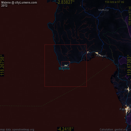
» Earth at Night: Flat Maps 2012, 2016