Rantepao night lights from space
Night Light of Rantepao (South Sulawesi) from space (Indonesia) Src. Average luminocity for 10x10km area is 6.6948% and for 50x50km: 7.5468%.
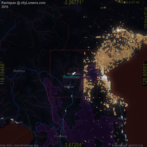
Analysis of Rantepao night lights 2016
Square area 10x10 km:
 2.81%
2.81%90-99
1.52%80-89
0%70-79
0%60-69
0%50-59
0%40-49
0.87%30-39
1.73%20-29
0%10-19
0.87%0-9
92.21%Square area 50x50 km:
0.16%90-99
0.16%80-89
0.39%70-79
1.83%60-69
3.5%50-59
0.9%40-49
0.34%30-39
0.2%20-29
1.53%10-19
9.34%0-9
81.64%Clear (daylight) street map image can be seen on geolist.org.
Map coordinates:
2° 16' 3.8" South, 119° 11' 40.8" East
2° 58' 12.4" South, 119° 53' 52.1" East
3° 40' 19.3" South, 120° 36' 3.3" East
Some cities around Rantepao sort by population:
• Parepare
119.9 km =74.5 mi,  194°
194°
• Palopo
33.3 km =20.7 mi,  94°
94°
• Watampone
180.8 km =112.3 mi,  164°
164°
• Sengkang
129.6 km =80.5 mi,  173°
173°
• Polewali
80.2 km =49.8 mi,  230°
230°
• Poso
199.1 km =123.7 mi,  28°
28°
• Majene
120.9 km =75.1 mi,  238°
238°
• Mamuju
116.9 km =72.6 mi,  285°
285°
1629974 (p: 40,438)
Sources (retrieved 2019-11-25):
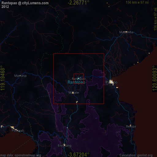
» Earth at Night: Flat Maps 2012, 2016