Sampit night lights from space
Night Light of Sampit (Central Kalimantan) from space (Indonesia) Src. Average luminocity for 10x10km area is 25.0065% and for 50x50km: 1.2608%.
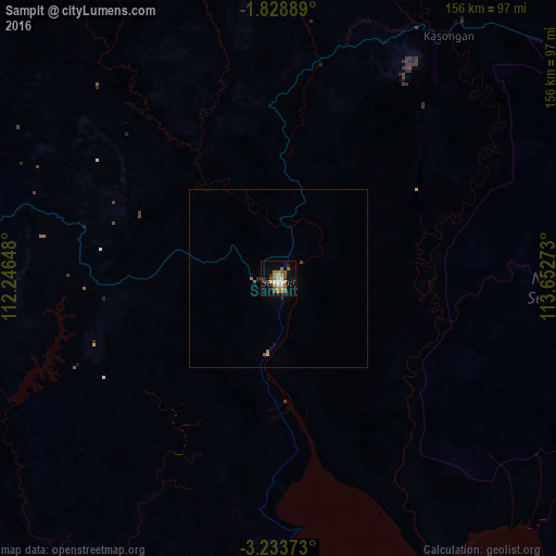


Analysis of Sampit night lights 2016
Square area 10x10 km:
 1.52%
1.52%90-99
3.25%80-89
1.3%70-79
5.84%60-69
5.63%50-59
4.33%40-49
6.28%30-39
3.03%20-29
0.87%10-19
15.15%0-9
52.81%Square area 50x50 km:
0.06%90-99
0.13%80-89
0.07%70-79
0.26%60-69
0.25%50-59
0.28%40-49
0.26%30-39
0.15%20-29
0.07%10-19
0.68%0-9
97.79%Clear (daylight) street map image can be seen on geolist.org.
Map coordinates:
1° 49' 44" South, 112° 14' 47.3" East
2° 31' 53.4" South, 112° 56' 58.6" East
3° 14' 1.4" South, 113° 39' 9.8" East
Some cities around Sampit sort by population:
• Banjarmasin
202.2 km =125.6 mi,  115°
115°
• Palangkaraya
113.3 km =70.4 mi,  71°
71°
• Martapura
234 km =145.4 mi,  114°
114°
• Barabai
270.4 km =168 mi,  91°
91°
• Amuntai
255.8 km =158.9 mi, 87°
• Pangkalanbuun
148 km =92 mi,  263°
263°
• Kualakapuas
168.3 km =104.6 mi, 108°
• Manismata
213 km =132.4 mi,  271°
271°
1628884 (p: 66,053)
Sources (retrieved 2019-11-25):
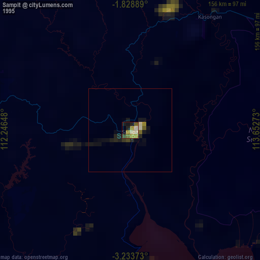
» NASA, Earths city lights 1995
» NASA city lights 2003
» Earth at Night: Flat Maps 2012, 2016