Banjarmasin night lights from space
Night Light of Banjarmasin (South Kalimantan) from space (Indonesia) Src. Average luminocity for 10x10km area is 78.5433% and for 50x50km: 8.0486%.
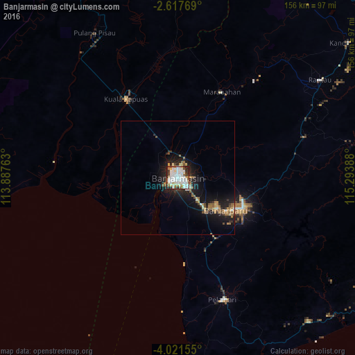
Analysis of Banjarmasin night lights 2016
Square area 10x10 km:
 31.82%
90-99
25.76%80-89
7.58%70-79
3.25%60-69
7.58%50-59
3.25%40-49
4.76%30-39
4.55%20-29
10.61%10-19
0.87%0-9
0%Square area 50x50 km:
1.3%90-99
1.49%80-89
0.65%70-79
0.97%60-69
1.12%50-59
1%40-49
0.63%30-39
0.82%20-29
2.63%10-19
7.49%0-9
81.91%Clear (daylight) street map image can be seen on geolist.org.
Map coordinates:
2° 37' 3.7" South, 113° 53' 15.5" East
3° 19' 11.5" South, 114° 35' 26.7" East
4° 1' 17.6" South, 115° 17' 38" East
Some cities around Banjarmasin sort by population:
• Balikpapan
337.5 km =209.7 mi,  47°
47°
• Palangkaraya
144.5 km =89.8 mi,  328°
328°
• Martapura
32 km =19.9 mi,  108°
108°
• Sampit
202.2 km =125.6 mi,  295°
295°
• Barabai
120.2 km =74.7 mi, 47°
• Amuntai
124.1 km =77.1 mi,  36°
36°
• Pangkalanbuun
336.7 km =209.2 mi,  282°
282°
• Kualakapuas
41.3 km =25.7 mi, 326°
1650213 (p: 572,837)
Sources (retrieved 2019-11-25):
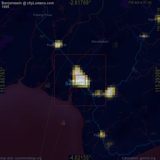
» NASA, Earths city lights 1995
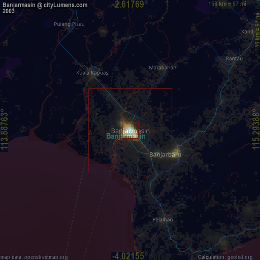
» NASA city lights 2003
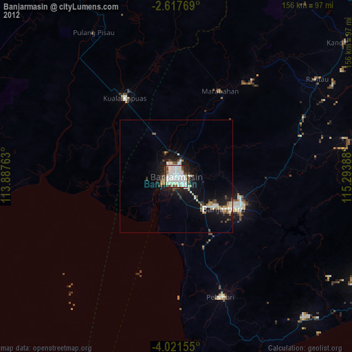
» Earth at Night: Flat Maps 2012, 2016