Pangkalanbuun night lights from space
Night Light of Pangkalanbuun (Central Kalimantan) from space (Indonesia) Src. Average luminocity for 10x10km area is 18.2727% and for 50x50km: 1.1524%.
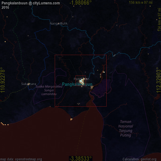
Analysis of Pangkalanbuun night lights 2016
Square area 10x10 km:
 1.3%
1.3%90-99
2.16%80-89
3.03%70-79
1.3%60-69
3.46%50-59
6.28%40-49
2.81%30-39
1.3%20-29
0.87%10-19
3.25%0-9
74.24%Square area 50x50 km:
0.05%90-99
0.12%80-89
0.12%70-79
0.05%60-69
0.2%50-59
0.29%40-49
0.25%30-39
0.22%20-29
0.28%10-19
0.25%0-9
98.16%Clear (daylight) street map image can be seen on geolist.org.
Map coordinates:
1° 58' 50.4" South, 110° 55' 22" East
2° 40' 59.5" South, 111° 37' 33.2" East
3° 23' 7.2" South, 112° 19' 44.5" East
Some cities around Pangkalanbuun sort by population:
• Banjarmasin
336.7 km =209.2 mi,  102°
102°
• Pontianak
390.3 km =242.5 mi,  319°
319°
• Palangkaraya
259.9 km =161.5 mi,  78°
78°
• Martapura
368.5 km =229 mi, 102°
• Sampit
148 km =92 mi, 83°
• Kualakapuas
308.8 km =191.9 mi, 96°
• Manggar
373.7 km =232.2 mi,  266°
266°
• Manismata
70.1 km =43.6 mi,  290°
290°
1632694 (p: 38,057)
Sources (retrieved 2019-11-25):
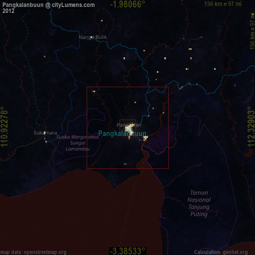
» Earth at Night: Flat Maps 2012, 2016