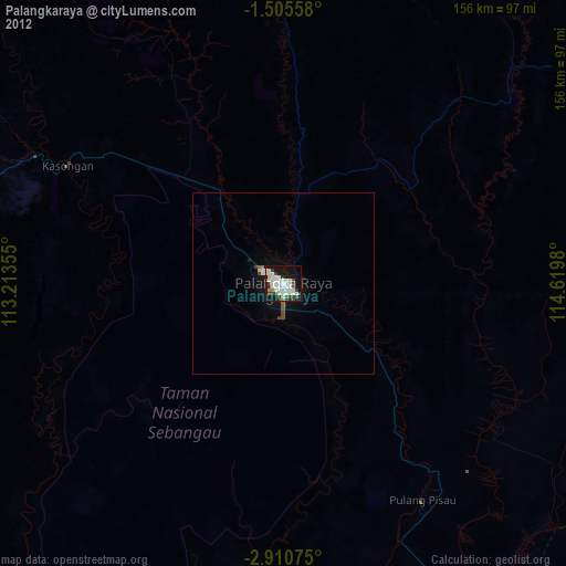
Palangkaraya night lights from space
Night Light of Palangkaraya (Central Kalimantan) from space (Indonesia) Src. Average luminocity for 10x10km area is 47.1558% and for 50x50km: 2.6372%.
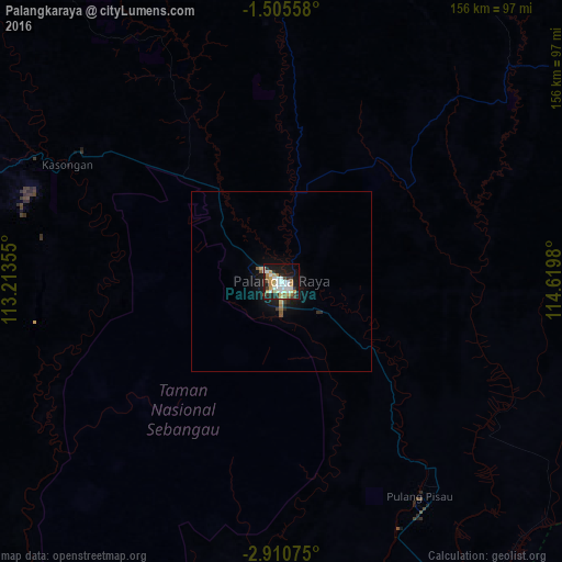
Analysis of Palangkaraya night lights 2016
Square area 10x10 km:
 10.39%
90-99
11.9%80-89
4.33%70-79
7.79%60-69
6.28%50-59
1.52%40-49
3.68%30-39
6.06%20-29
9.52%10-19
32.03%0-9
6.49%Square area 50x50 km:
0.42%90-99
0.48%80-89
0.26%70-79
0.31%60-69
0.34%50-59
0.19%40-49
0.2%30-39
0.32%20-29
0.58%10-19
2.67%0-9
94.24%Clear (daylight) street map image can be seen on geolist.org.
Map coordinates:
1° 30' 20.1" South, 113° 12' 48.8" East
2° 12' 30" South, 113° 55' 0" East
2° 54' 38.7" South, 114° 37' 11.3" East
Some cities around Palangkaraya sort by population:
• Banjarmasin
144.5 km =89.8 mi,  148°
148°
• Martapura
170.2 km =105.8 mi,  141°
141°
• Sampit
113.3 km =70.4 mi,  251°
251°
• Barabai
168.2 km =104.5 mi,  104°
104°
• Amuntai
149.9 km =93.1 mi, 98°
• Pangkalanbuun
259.9 km =161.5 mi,  258°
258°
• Kualakapuas
103.3 km =64.2 mi, 149°
• Manismata
321.6 km =199.8 mi, 264°
1633118 (p: 148,139)
Sources (retrieved 2019-11-25):
» NASA, Earths city lights 1995
» NASA city lights 2003
» Earth at Night: Flat Maps 2012, 2016