Amuntai night lights from space
Night Light of Amuntai (South Kalimantan) from space (Indonesia) Src. Average luminocity for 10x10km area is 4.5758% and for 50x50km: 1.0443%.
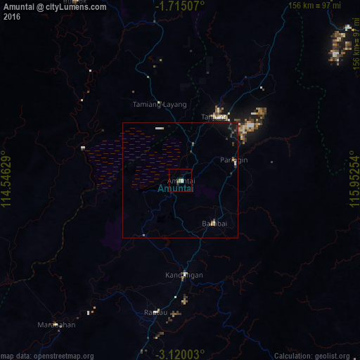
Analysis of Amuntai night lights 2016
Square area 10x10 km:
 1.08%
1.08%90-99
0.65%80-89
0%70-79
0%60-69
1.73%50-59
0.87%40-49
0%30-39
0.87%20-29
0.65%10-19
1.08%0-9
93.07%Square area 50x50 km:
0.1%90-99
0.18%80-89
0%70-79
0.1%60-69
0.11%50-59
0.15%40-49
0.16%30-39
0.28%20-29
0.29%10-19
0.88%0-9
97.75%Clear (daylight) street map image can be seen on geolist.org.
Map coordinates:
1° 42' 54.3" South, 114° 32' 46.6" East
2° 25' 3.8" South, 115° 14' 57.9" East
3° 7' 12.1" South, 115° 57' 9.1" East
Some cities around Amuntai sort by population:
• City of Balikpapan
224.7 km =139.6 mi,  54°
54°
• Banjarmasin
124.1 km =77.1 mi,  216°
216°
• Balikpapan
217.2 km =135 mi, 53°
• Palangkaraya
149.9 km =93.1 mi,  278°
278°
• Martapura
118.4 km =73.6 mi,  201°
201°
• Sampit
255.8 km =158.9 mi,  267°
267°
• Barabai
23.7 km =14.7 mi,  141°
141°
• Kualakapuas
116.1 km =72.1 mi,  235°
235°
1651461 (p: 55,560)
Sources (retrieved 2019-11-25):
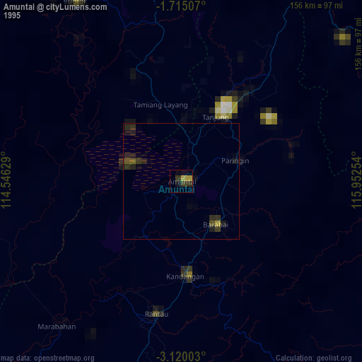
» NASA, Earths city lights 1995
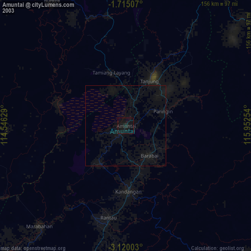
» NASA city lights 2003
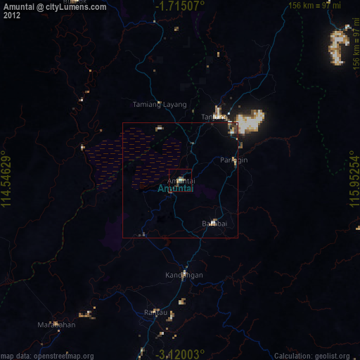
» Earth at Night: Flat Maps 2012, 2016