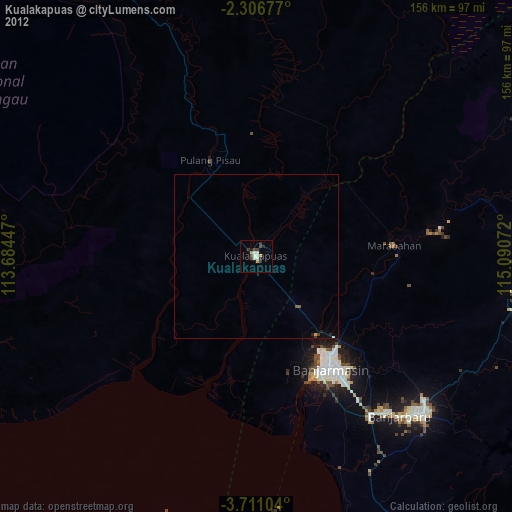
Kualakapuas night lights from space
Night Light of Kualakapuas (Central Kalimantan) from space (Indonesia) Src. Average luminocity for 10x10km area is 9.0823% and for 50x50km: 0.5688%.
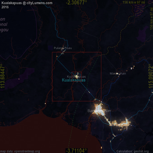
Analysis of Kualakapuas night lights 2016
Square area 10x10 km:
 0%
0%90-99
0%80-89
0.87%70-79
1.95%60-69
3.46%50-59
2.38%40-49
2.38%30-39
1.52%20-29
1.3%10-19
0.43%0-9
85.71%Square area 50x50 km:
0%90-99
0%80-89
0.03%70-79
0.08%60-69
0.16%50-59
0.16%40-49
0.14%30-39
0.17%20-29
0.18%10-19
0.09%0-9
99%Clear (daylight) street map image can be seen on geolist.org.
Map coordinates:
2° 18' 24.4" South, 113° 41' 4.1" East
3° 0' 32.9" South, 114° 23' 15.3" East
3° 42' 39.7" South, 115° 5' 26.6" East
Some cities around Kualakapuas sort by population:
• Banjarmasin
41.3 km =25.7 mi,  146°
146°
• Balikpapan
333.3 km =207.1 mi,  54°
54°
• Palangkaraya
103.3 km =64.2 mi,  329°
329°
• Martapura
69.2 km =43 mi,  130°
130°
• Sampit
168.3 km =104.6 mi,  288°
288°
• Barabai
120.3 km =74.8 mi,  66°
66°
• Amuntai
116.1 km =72.1 mi,  55°
55°
• Pangkalanbuun
308.8 km =191.9 mi,  276°
276°
1639304 (p: 35,632)
Sources (retrieved 2019-11-25):
» Earth at Night: Flat Maps 2012, 2016