Manismata night lights from space
Night Light of Manismata (West Kalimantan) from space (Indonesia) Src. Average luminocity for 10x10km area is 0.1126% and for 50x50km: 0.0719%.
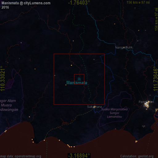
Analysis of Manismata night lights 2016
Square area 10x10 km:
 0%
0%90-99
0%80-89
0%70-79
0%60-69
0%50-59
0%40-49
0%30-39
0%20-29
0%10-19
0.87%0-9
99.13%Square area 50x50 km:
0%90-99
0%80-89
0%70-79
0.03%60-69
0%50-59
0%40-49
0%30-39
0.07%20-29
0.03%10-19
0.03%0-9
99.83%Clear (daylight) street map image can be seen on geolist.org.
Map coordinates:
1° 45' 50.5" South, 110° 19' 48.8" East
2° 28' 0" South, 111° 1' 60" East
3° 10' 8.2" South, 111° 44' 11.3" East
Some cities around Manismata sort by population:
• Banjarmasin
406.3 km =252.5 mi,  103°
103°
• Pontianak
330.7 km =205.5 mi,  324°
324°
• Palangkaraya
321.6 km =199.8 mi,  84°
84°
• Sampit
213 km =132.4 mi,  91°
91°
• Tanjung Pandan
378.7 km =235.3 mi,  265°
265°
• Pangkalanbuun
70.1 km =43.6 mi,  110°
110°
• Kualakapuas
377.4 km =234.5 mi, 99°
• Manggar
310.8 km =193.1 mi,  261°
261°
1636322 (p: 18,888)
Sources (retrieved 2019-11-25):
» Earth at Night: Flat Maps 2012, 2016