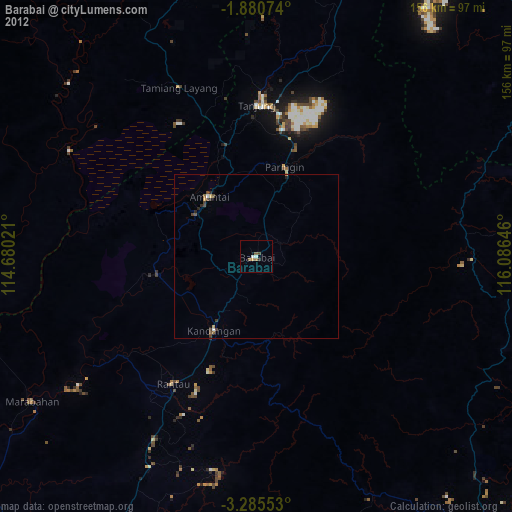
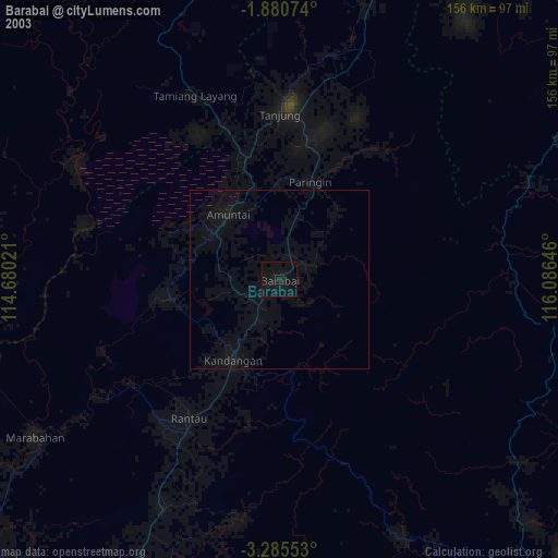
Barabai night lights from space
Night Light of Barabai (South Kalimantan) from space (Indonesia) Src. Average luminocity for 10x10km area is 3.303% and for 50x50km: 0.5248%.
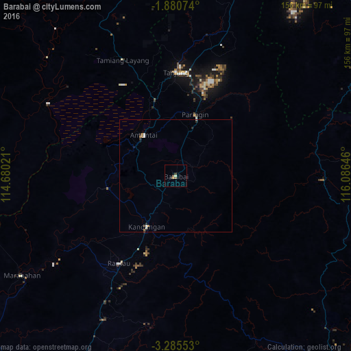

Analysis of Barabai night lights 2016
Square area 10x10 km:
 0%
0%90-99
0.87%80-89
0%70-79
0.87%60-69
0.87%50-59
0.87%40-49
0.65%30-39
0.22%20-29
0.87%10-19
0%0-9
94.81%Square area 50x50 km:
0.08%90-99
0.11%80-89
0%70-79
0.07%60-69
0.13%50-59
0.08%40-49
0.04%30-39
0.1%20-29
0.12%10-19
0.11%0-9
99.15%Clear (daylight) street map image can be seen on geolist.org.
Map coordinates:
1° 52' 50.7" South, 114° 40' 48.8" East
2° 34' 60" South, 115° 22' 60" East
3° 17' 7.9" South, 116° 5' 11.3" East
Some cities around Barabai sort by population:
• City of Balikpapan
224.6 km =139.6 mi,  48°
48°
• Banjarmasin
120.2 km =74.7 mi,  227°
227°
• Balikpapan
217.3 km =135 mi, 47°
• Palangkaraya
168.2 km =104.5 mi,  284°
284°
• Martapura
108.6 km =67.5 mi,  212°
212°
• Sampit
270.4 km =168 mi,  271°
271°
• Amuntai
23.7 km =14.7 mi,  321°
321°
• Kualakapuas
120.3 km =74.8 mi,  246°
246°
1650064 (p: 60,192)
Sources (retrieved 2019-11-25):
» NASA, Earths city lights 1995
» NASA city lights 2003
» Earth at Night: Flat Maps 2012, 2016