Samarinda night lights from space
Night Light of Samarinda (East Kalimantan) from space (Indonesia) Src. Average luminocity for 10x10km area is 74.0108% and for 50x50km: 12.6618%.
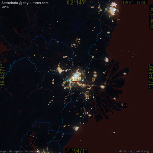
Analysis of Samarinda night lights 2016
Square area 10x10 km:
 14.94%
90-99
19.7%80-89
12.34%70-79
23.81%60-69
2.6%50-59
5.41%40-49
8.87%30-39
5.41%20-29
6.49%10-19
0.43%0-9
0%Square area 50x50 km:
1.04%90-99
1.58%80-89
0.87%70-79
2.2%60-69
1.3%50-59
1.08%40-49
2.54%30-39
4.65%20-29
3.82%10-19
8.56%0-9
72.35%Clear (daylight) street map image can be seen on geolist.org.
Map coordinates:
0° 12' 41.2" North, 116° 26' 33.8" East
0° 29' 30" South, 117° 8' 45" East
1° 11' 41" South, 117° 50' 56.3" East
Some cities around Samarinda sort by population:
• City of Balikpapan
88 km =54.7 mi,  198°
198°
• Balikpapan
93.2 km =57.9 mi, 202°
• Palu
306.5 km =190.5 mi,  98°
98°
• Loa Janan
11.6 km =7.2 mi,  209°
209°
• Bontang
79 km =49.1 mi,  28°
28°
• Barabai
304.1 km =189 mi,  220°
220°
• Amuntai
300.5 km =186.7 mi, 224°
• Mamuju
310.9 km =193.2 mi,  141°
141°
1629001 (p: 355,160)
Sources (retrieved 2019-11-25):
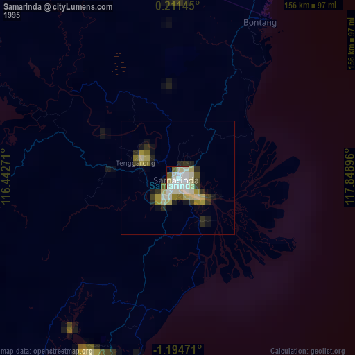
» NASA, Earths city lights 1995
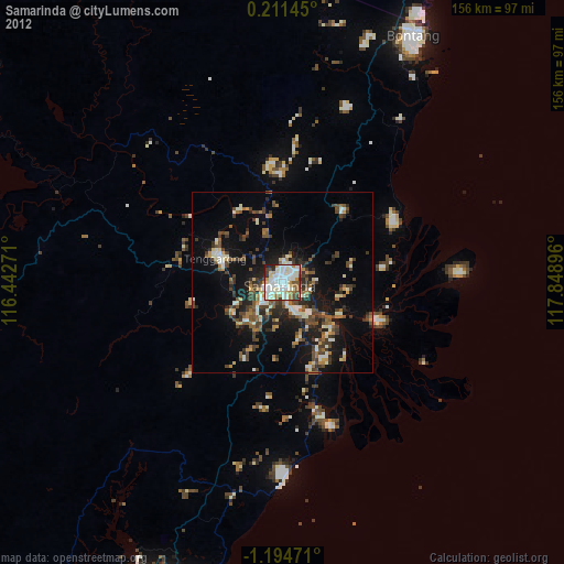
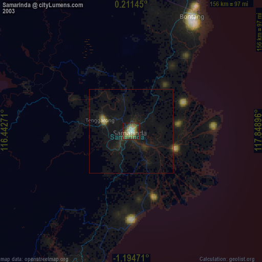
» NASA city lights 2003
» Earth at Night: Flat Maps 2012, 2016