Loa Janan night lights from space
Night Light of Loa Janan (East Kalimantan) from space (Indonesia) Src. Average luminocity for 10x10km area is 26.539% and for 50x50km: 12.3187%.
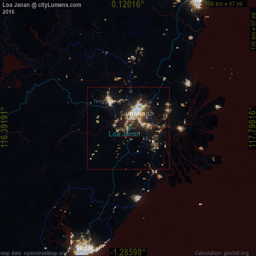
Analysis of Loa Janan night lights 2016
Square area 10x10 km:
 0.65%
0.65%90-99
0.22%80-89
0%70-79
4.98%60-69
3.68%50-59
2.16%40-49
8.23%30-39
19.26%20-29
12.77%10-19
26.62%0-9
21.43%Square area 50x50 km:
1.03%90-99
1.59%80-89
0.9%70-79
2.13%60-69
1.24%50-59
1.06%40-49
2.45%30-39
4.6%20-29
3.63%10-19
8.47%0-9
72.91%Clear (daylight) street map image can be seen on geolist.org.
Map coordinates:
0° 7' 12.6" North, 116° 23' 30.9" East
0° 34' 58.6" South, 117° 5' 42.1" East
1° 17' 9.5" South, 117° 47' 53.4" East
Some cities around Loa Janan sort by population:
• City of Balikpapan
76.6 km =47.6 mi,  196°
196°
• Balikpapan
81.7 km =50.8 mi, 201°
• Samarinda
11.6 km =7.2 mi,  29°
29°
• Palu
310.7 km =193.1 mi,  96°
96°
• Bontang
90.6 km =56.3 mi, 28°
• Barabai
292.7 km =181.9 mi,  220°
220°
• Amuntai
289.3 km =179.8 mi,  225°
225°
• Mamuju
306.6 km =190.5 mi,  139°
139°
1637510 (p: 212,816)
Sources (retrieved 2019-11-25):
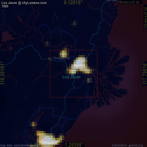
» NASA, Earths city lights 1995
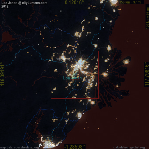
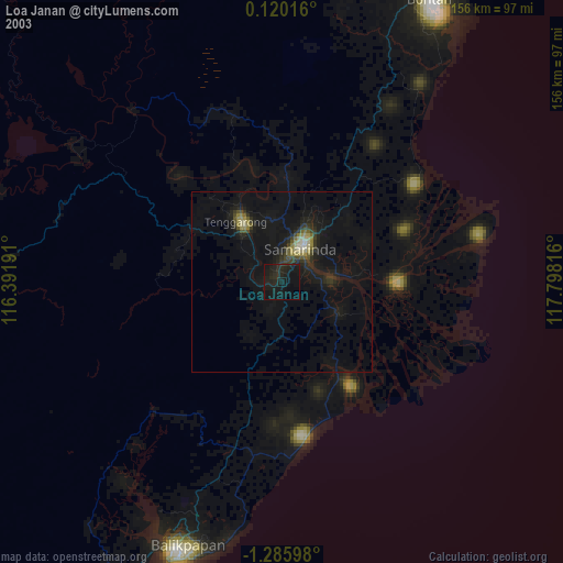
» NASA city lights 2003
» Earth at Night: Flat Maps 2012, 2016