Bontang night lights from space
Night Light of Bontang (East Kalimantan) from space (Indonesia) Src. Average luminocity for 10x10km area is 60.9978% and for 50x50km: 4.9717%.
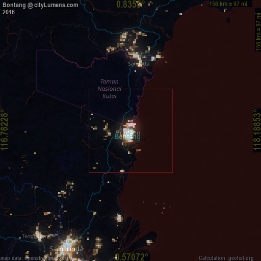
Analysis of Bontang night lights 2016
Square area 10x10 km:
 19.05%
90-99
20.13%80-89
5.19%70-79
5.84%60-69
3.46%50-59
0.87%40-49
5.19%30-39
5.84%20-29
15.8%10-19
18.4%0-9
0.22%Square area 50x50 km:
0.93%90-99
1.06%80-89
0.31%70-79
0.45%60-69
0.33%50-59
0.35%40-49
0.54%30-39
1.05%20-29
1.46%10-19
3.93%0-9
89.59%Clear (daylight) street map image can be seen on geolist.org.
Map coordinates:
0° 50' 7.8" North, 116° 46' 56.2" East
0° 7' 56.6" North, 117° 29' 7.4" East
0° 34' 14.6" South, 118° 11' 18.7" East
Some cities around Bontang sort by population:
• City of Balikpapan
166.4 km =103.4 mi,  203°
203°
• Balikpapan
171.9 km =106.8 mi,  205°
205°
• Samarinda
79 km =49.1 mi, 208°
• Palu
289.4 km =179.8 mi,  113°
113°
• Loa Janan
90.6 km =56.3 mi, 208°
• Tarakan
353.9 km =219.9 mi,  1°
1°
• Mamuju
349.4 km =217.1 mi,  153°
153°
• Tanjung Selor
301.1 km =187.1 mi,  357°
357°
1648186 (p: 101,691)
Sources (retrieved 2019-11-25):
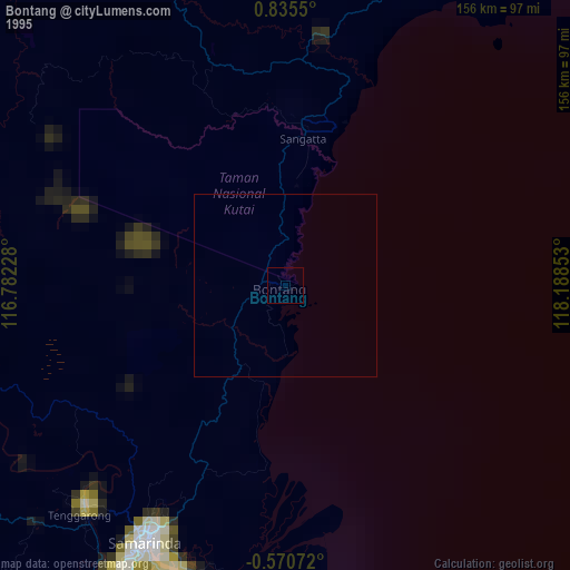
» NASA, Earths city lights 1995
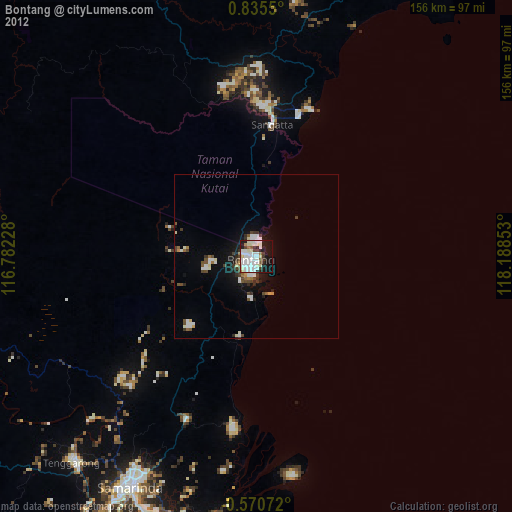
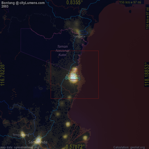
» NASA city lights 2003
» Earth at Night: Flat Maps 2012, 2016