Palu night lights from space
Night Light of Palu (Central Sulawesi) from space (Indonesia) Src. Average luminocity for 10x10km area is 71.1775% and for 50x50km: 5.6856%.
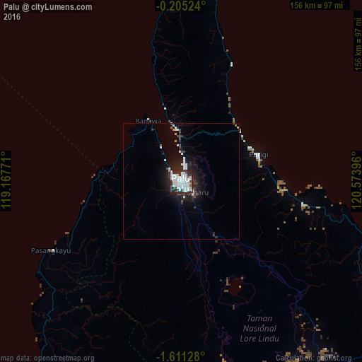
Analysis of Palu night lights 2016
Square area 10x10 km:
 36.15%
90-99
22.94%80-89
0%70-79
0.87%60-69
0%50-59
0.87%40-49
3.9%30-39
14.07%20-29
17.97%10-19
3.25%0-9
0%Square area 50x50 km:
1.93%90-99
1.31%80-89
0%70-79
0.14%60-69
0.09%50-59
0.07%40-49
0.48%30-39
1.25%20-29
2.18%10-19
3.87%0-9
88.69%Clear (daylight) street map image can be seen on geolist.org.
Map coordinates:
0° 12' 18.9" South, 119° 10' 3.8" East
0° 54' 30" South, 119° 52' 15" East
1° 36' 40.6" South, 120° 34' 26.3" East
Some cities around Palu sort by population:
• Samarinda
306.5 km =190.5 mi,  278°
278°
• Palopo
234.6 km =145.8 mi,  171°
171°
• Bontang
289.4 km =179.8 mi,  293°
293°
• Polewali
286.7 km =178.1 mi,  191°
191°
• Poso
112 km =69.6 mi,  118°
118°
• Rantepao
229.3 km =142.5 mi,  179°
179°
• Majene
309.3 km =192.2 mi,  198°
198°
• Mamuju
225.4 km =140.1 mi,  209°
209°
1633034 (p: 282,431)
Sources (retrieved 2019-11-25):
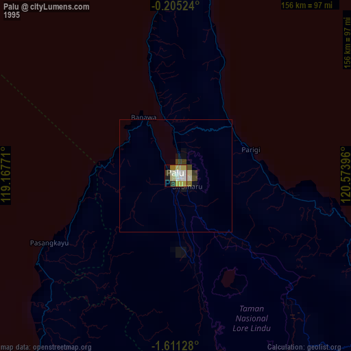
» NASA, Earths city lights 1995
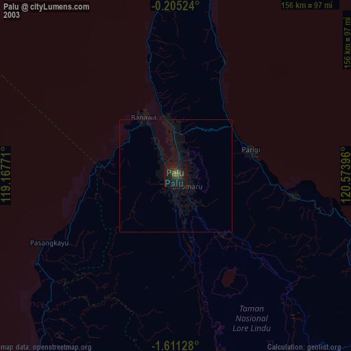
» NASA city lights 2003
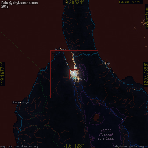
» Earth at Night: Flat Maps 2012, 2016