Mamuju night lights from space
Night Light of Mamuju (West Sulawesi) from space (Indonesia) Src. Average luminocity for 10x10km area is 12.7727% and for 50x50km: 0.5737%.
Analysis of Mamuju night lights 2016
Square area 10x10 km:
 3.9%
3.9%90-99
3.9%80-89
0%70-79
0%60-69
0%50-59
0.22%40-49
2.38%30-39
1.73%20-29
3.03%10-19
0.43%0-9
84.42%Square area 50x50 km:
0.16%90-99
0.16%80-89
0%70-79
0%60-69
0%50-59
0.01%40-49
0.1%30-39
0.14%20-29
0.12%10-19
0.05%0-9
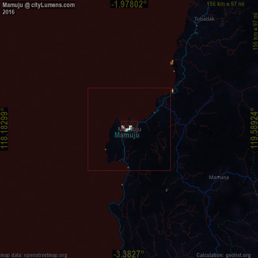
99.27%Clear (daylight) street map image can be seen on geolist.org.
Map coordinates:
1° 58' 40.9" South, 118° 10' 58.8" East
2° 40' 50" South, 118° 53' 10" East
3° 22' 57.7" South, 119° 35' 21.3" East
Some cities around Mamuju sort by population:
• Palu
225.4 km =140.1 mi,  29°
29°
• Parepare
169.4 km =105.3 mi,  151°
151°
• Palopo
149.6 km =93 mi,  103°
103°
• Sengkang
205 km =127.4 mi,  141°
141°
• Polewali
97.8 km =60.8 mi, 148°
• Poso
251.8 km =156.5 mi,  55°
55°
• Rantepao
116.9 km =72.6 mi,  105°
105°
• Majene
96.1 km =59.7 mi,  174°
174°
1636556 (p: 15,000)
Sources (retrieved 2019-11-25):
» Earth at Night: Flat Maps 2012, 2016