City of Balikpapan night lights from space
Night Light of City of Balikpapan (East Kalimantan) from space (Indonesia) Src. Average luminocity for 10x10km area is 58.9394% and for 50x50km: 6.6934%.
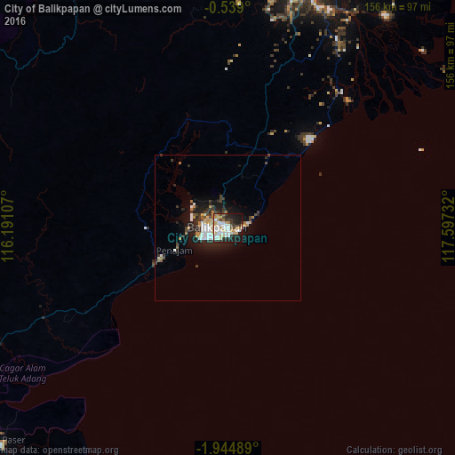
Analysis of City of Balikpapan night lights 2016
Square area 10x10 km:
 12.12%
90-99
18.18%80-89
6.93%70-79
12.12%60-69
3.9%50-59
1.95%40-49
3.68%30-39
7.36%20-29
16.23%10-19
17.1%0-9
0.43%Square area 50x50 km:
1.11%90-99
1.37%80-89
0.52%70-79
1.12%60-69
0.57%50-59
0.29%40-49
0.72%30-39
1.19%20-29
2.4%10-19
4.66%0-9
86.07%Clear (daylight) street map image can be seen on geolist.org.
Map coordinates:
0° 32' 20.4" South, 116° 11' 27.9" East
1° 14' 31.3" South, 116° 53' 39.1" East
1° 56' 41.6" South, 117° 35' 50.4" East
Some cities around City of Balikpapan sort by population:
• Balikpapan
7.8 km =4.8 mi,  248°
248°
• Samarinda
88 km =54.7 mi,  18°
18°
• Loa Janan
76.6 km =47.6 mi, 16°
• Martapura
330.2 km =205.2 mi,  223°
223°
• Bontang
166.4 km =103.4 mi, 23°
• Barabai
224.6 km =139.6 mi,  228°
228°
• Amuntai
224.7 km =139.6 mi, 234°
• Mamuju
273.1 km =169.7 mi,  125°
125°
8224624 (p: 700,000)
Sources (retrieved 2019-11-25):
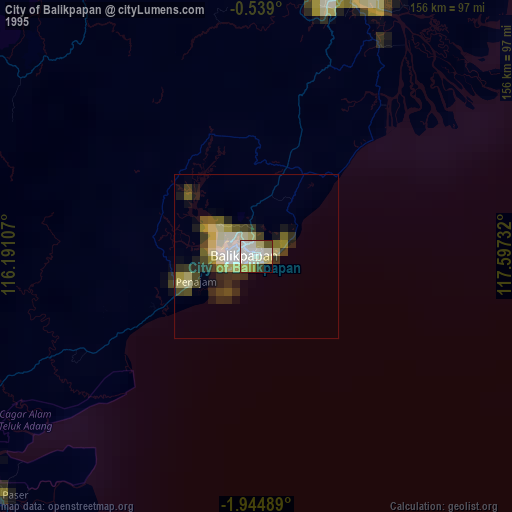
» NASA, Earths city lights 1995
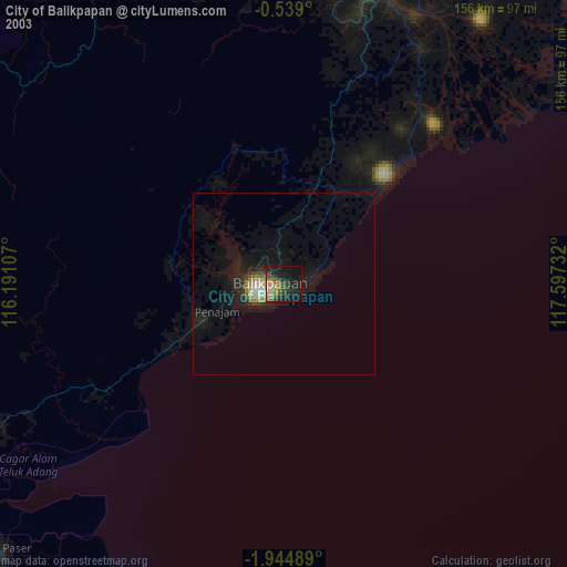
» NASA city lights 2003
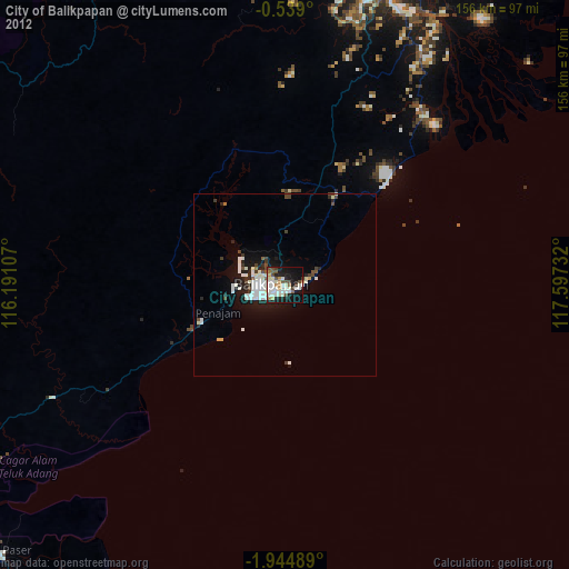
» Earth at Night: Flat Maps 2012, 2016