Balikpapan night lights from space
Night Light of Balikpapan (East Kalimantan) from space (Indonesia) Src. Average luminocity for 10x10km area is 57.2532% and for 50x50km: 6.7209%.
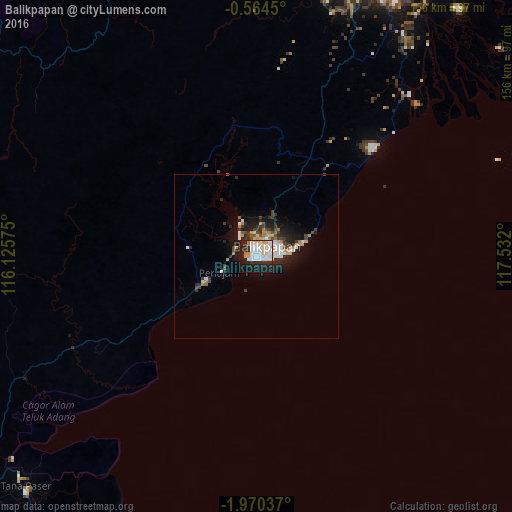
Analysis of Balikpapan night lights 2016
Square area 10x10 km:
 17.32%
90-99
18.4%80-89
8.01%70-79
6.06%60-69
1.73%50-59
0%40-49
0%30-39
2.38%20-29
21.43%10-19
21.65%0-9
3.03%Square area 50x50 km:
1.12%90-99
1.38%80-89
0.52%70-79
1.12%60-69
0.54%50-59
0.29%40-49
0.72%30-39
1.15%20-29
2.47%10-19
4.66%0-9
86.03%Clear (daylight) street map image can be seen on geolist.org.
Map coordinates:
0° 33' 52.2" South, 116° 7' 32.7" East
1° 16' 3.1" South, 116° 49' 43.9" East
1° 58' 13.3" South, 117° 31' 55.2" East
Some cities around Balikpapan sort by population:
• City of Balikpapan
7.8 km =4.8 mi,  68°
68°
• Samarinda
93.2 km =57.9 mi,  22°
22°
• Loa Janan
81.7 km =50.8 mi, 21°
• Martapura
323.2 km =200.8 mi,  222°
222°
• Bontang
171.9 km =106.8 mi,  25°
25°
• Barabai
217.3 km =135 mi,  227°
227°
• Amuntai
217.2 km =135 mi, 233°
• Mamuju
277.4 km =172.4 mi,  124°
124°
1650527 (p: 433,866)
Sources (retrieved 2019-11-25):
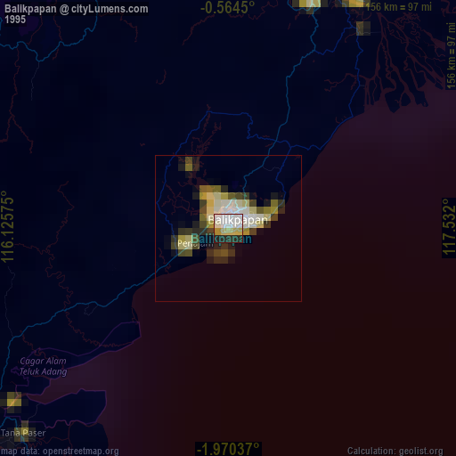
» NASA, Earths city lights 1995
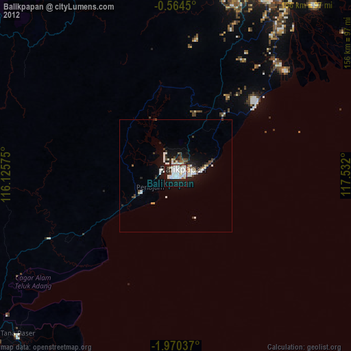
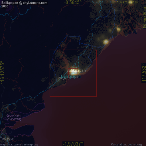
» NASA city lights 2003
» Earth at Night: Flat Maps 2012, 2016