Poso night lights from space
Night Light of Poso (Central Sulawesi) from space (Indonesia) Src. Average luminocity for 10x10km area is 23.197% and for 50x50km: 1.5472%.
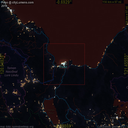
Analysis of Poso night lights 2016
Square area 10x10 km:
 7.14%
7.14%90-99
6.06%80-89
1.52%70-79
2.16%60-69
1.3%50-59
0%40-49
0%30-39
0%20-29
0%10-19
25.11%0-9
56.71%Square area 50x50 km:
0.35%90-99
0.28%80-89
0.1%70-79
0.16%60-69
0.09%50-59
0.12%40-49
0.23%30-39
0.11%20-29
0.05%10-19
1.03%0-9
97.48%Clear (daylight) street map image can be seen on geolist.org.
Map coordinates:
0° 41' 34.4" South, 120° 2' 57.4" East
1° 23' 45.2" South, 120° 45' 8.6" East
2° 5' 55.3" South, 121° 27' 19.9" East
Some cities around Poso sort by population:
• Palu
112 km =69.6 mi,  298°
298°
• Palopo
187.9 km =116.8 mi,  199°
199°
• Sengkang
314.2 km =195.2 mi,  194°
194°
• Polewali
275.3 km =171.1 mi,  214°
214°
• Luwuk
231.6 km =143.9 mi,  77°
77°
• Rantepao
199.1 km =123.7 mi, 208°
• Majene
309.9 km =192.6 mi,  219°
219°
• Mamuju
251.8 km =156.5 mi,  235°
235°
1630723 (p: 47,110)
Sources (retrieved 2019-11-25):
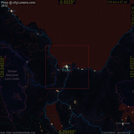
» Earth at Night: Flat Maps 2012, 2016