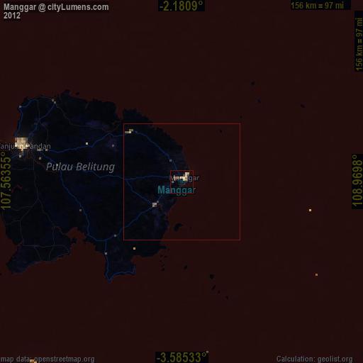
Manggar night lights from space
Night Light of Manggar (Bangka–Belitung Islands) from space (Indonesia) Src. Average luminocity for 10x10km area is 6.119% and for 50x50km: 0.3164%.
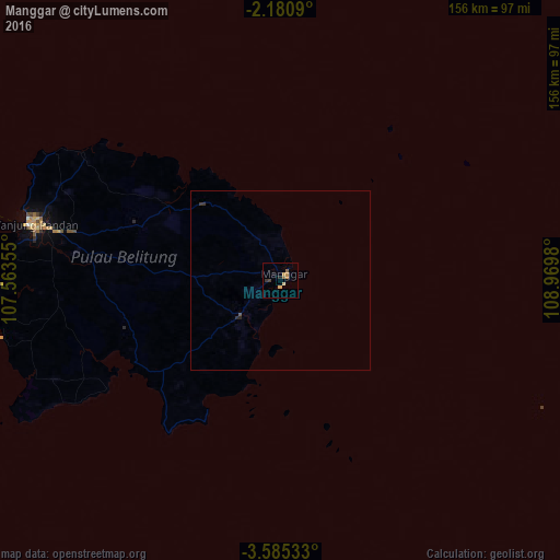
Analysis of Manggar night lights 2016
Square area 10x10 km:
 0%
0%90-99
0%80-89
1.08%70-79
3.03%60-69
0.65%50-59
1.3%40-49
0.87%30-39
0.87%20-29
0.87%10-19
0.87%0-9
90.48%Square area 50x50 km:
0%90-99
0%80-89
0.04%70-79
0.12%60-69
0.03%50-59
0.05%40-49
0.07%30-39
0.11%20-29
0.1%10-19
0.03%0-9
99.45%Clear (daylight) street map image can be seen on geolist.org.
Map coordinates:
2° 10' 51.2" South, 107° 33' 48.8" East
2° 52' 60" South, 108° 16' 0" East
3° 35' 7.2" South, 108° 58' 11.3" East
Some cities around Manggar sort by population:
• Pontianak
338.2 km =210.1 mi,  20°
20°
• Rengasdengklok
379.7 km =235.9 mi,  196°
196°
• Pangkalpinang
253.4 km =157.5 mi,  289°
289°
• Sungailiat
264.3 km =164.2 mi,  295°
295°
• Tanjung Pandan
72.1 km =44.8 mi,  283°
283°
• Pangkalanbuun
373.7 km =232.2 mi,  86°
86°
• Muntok
356.6 km =221.6 mi, 284°
• Manismata
310.8 km =193.1 mi,  81°
81°
1636426 (p: 34,520)
Sources (retrieved 2019-11-25):
» Earth at Night: Flat Maps 2012, 2016