Pontianak night lights from space
Night Light of Pontianak (West Kalimantan) from space (Indonesia) Src. Average luminocity for 10x10km area is 79.4091% and for 50x50km: 6.863%.
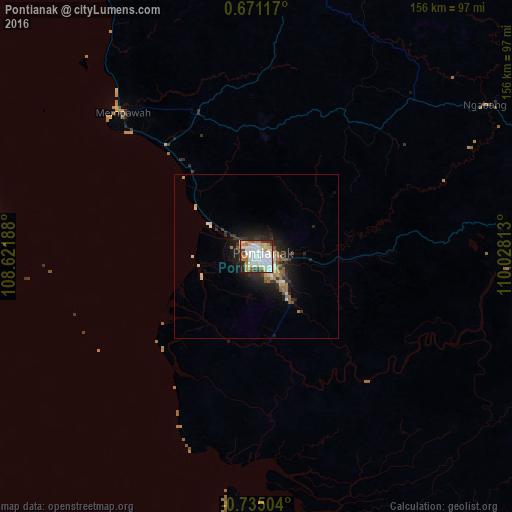
Analysis of Pontianak night lights 2016
Square area 10x10 km:
 27.27%
90-99
25.54%80-89
10.39%70-79
9.09%60-69
6.28%50-59
3.25%40-49
5.19%30-39
6.71%20-29
4.33%10-19
1.95%0-9
0%Square area 50x50 km:
1.19%90-99
1.31%80-89
0.87%70-79
0.65%60-69
0.94%50-59
0.88%40-49
0.29%30-39
1.22%20-29
2.01%10-19
4.43%0-9
86.21%Clear (daylight) street map image can be seen on geolist.org.
Map coordinates:
0° 40' 16.2" North, 108° 37' 18.8" East
0° 1' 55" South, 109° 19' 30" East
0° 44' 6.1" South, 110° 1' 41.3" East
Some cities around Pontianak sort by population:
• Kuching, MY
208.6 km =129.6 mi,  32°
32°
• Singkawang
111.3 km =69.2 mi,  340°
340°
• Sungai Raya
94.1 km =58.5 mi,  329°
329°
• Manggar
338.2 km =210.1 mi,  200°
200°
• Pemangkat
139.1 km =86.4 mi, 343°
• Sarikei, MY
341.2 km =212 mi,  45°
45°
• Simanggang, MY
276 km =171.5 mi,  58°
58°
• Manismata
330.7 km =205.5 mi,  144°
144°
1630789 (p: 455,173)
Sources (retrieved 2019-11-25):
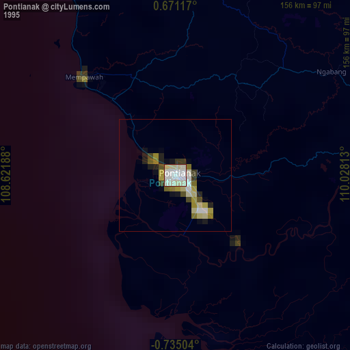
» NASA, Earths city lights 1995
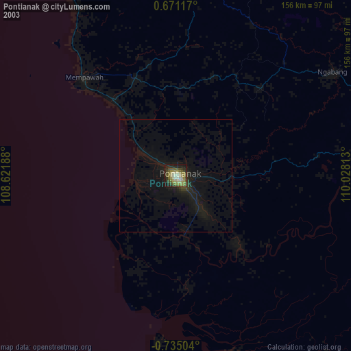
» NASA city lights 2003
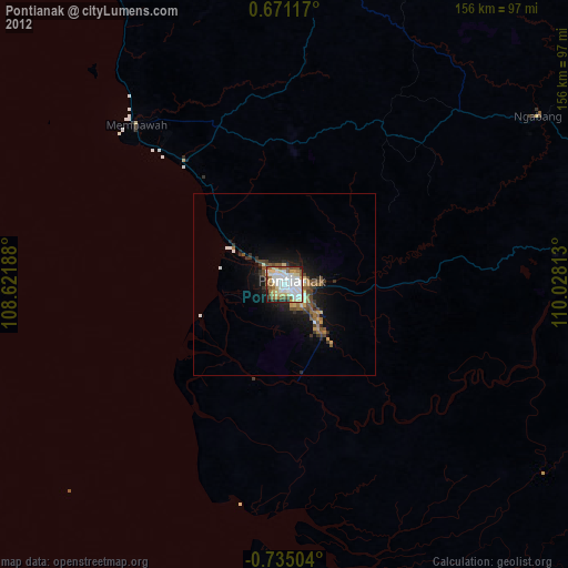
» Earth at Night: Flat Maps 2012, 2016