Nabire night lights from space
Night Light of Nabire (Papua) from space (Indonesia) Src. Average luminocity for 10x10km area is 8.355% and for 50x50km: 0.6627%.
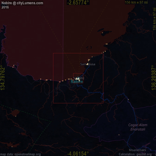
Analysis of Nabire night lights 2016
Square area 10x10 km:
 0.65%
0.65%90-99
2.81%80-89
1.73%70-79
1.52%60-69
0.65%50-59
0%40-49
0%30-39
0%20-29
2.38%10-19
0.22%0-9
90.04%Square area 50x50 km:
0.03%90-99
0.11%80-89
0.14%70-79
0.1%60-69
0.04%50-59
0.31%40-49
0.02%30-39
0.03%20-29
0.1%10-19
0.01%0-9
99.12%Clear (daylight) street map image can be seen on geolist.org.
Map coordinates:
2° 39' 27.9" South, 134° 47' 51.4" East
3° 21' 35.6" South, 135° 30' 2.7" East
4° 3' 41.5" South, 136° 12' 13.9" East
Some cities around Nabire sort by population:
• Jayapura
586.6 km =364.5 mi,  80°
80°
• Sorong
545.8 km =339.1 mi,  300°
300°
• Abepura
576.1 km =358 mi, 81°
• Manokwari
320.3 km =199 mi,  330°
330°
• Amahai
730.5 km =453.9 mi,  270°
270°
• Tual
395.5 km =245.8 mi,  230°
230°
• Kiunga, PG
711.2 km =441.9 mi,  115°
115°
• Vanimo, PG
648.5 km =403 mi, 83°
1634614 (p: 43,898)
Sources (retrieved 2019-11-25):
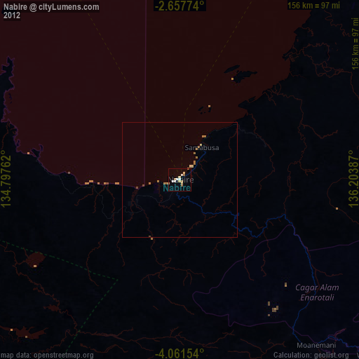
» Earth at Night: Flat Maps 2012, 2016