Vanimo night lights from space
Night Light of Vanimo (Sandaun) from space (Papua New Guinea) Src. Average luminocity for 10x10km area is 5.8463% and for 50x50km: 0.4221%.
Analysis of Vanimo night lights 2016
Square area 10x10 km:
 2.16%
2.16%90-99
0.87%80-89
2.16%70-79
0%60-69
0%50-59
0%40-49
0%30-39
0%20-29
0%10-19
0%0-9
94.81%Square area 50x50 km:
0.09%90-99
0.03%80-89
0.12%70-79
0%60-69
0.14%50-59
0%40-49
0.1%30-39
0%20-29
0%10-19
0%0-9
99.52%Clear (daylight) street map image can be seen on geolist.org.
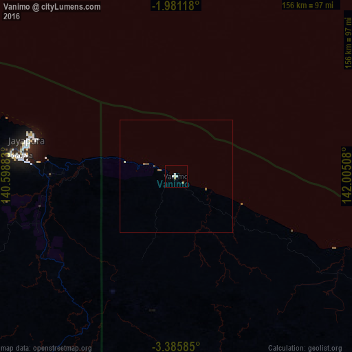
Map coordinates:
1° 58' 52.2" South, 140° 35' 55.8" East
2° 41' 1.4" South, 141° 18' 7" East
3° 23' 9.1" South, 142° 0' 18.3" East
Some cities around Vanimo sort by population:
• Jayapura, ID
67 km =41.6 mi,  284°
284°
• Abepura, ID
75 km =46.6 mi, 277°
• Mendi
465.2 km =289.1 mi,  145°
145°
• Wewak
276.1 km =171.6 mi,  110°
110°
• Kiunga
382.3 km =237.6 mi,  180°
180°
• Tari
396 km =246.1 mi, 152°
• Aitape
126.7 km =78.7 mi, 113°
• Wabag
411.6 km =255.8 mi,  139°
139°
2084442 (p: 11,204)
Sources (retrieved 2019-11-25):
» Earth at Night: Flat Maps 2012, 2016