Manokwari night lights from space
Night Light of Manokwari (West Papua) from space (Indonesia) Src. Average luminocity for 10x10km area is 13.4654% and for 50x50km: 0.6105%.
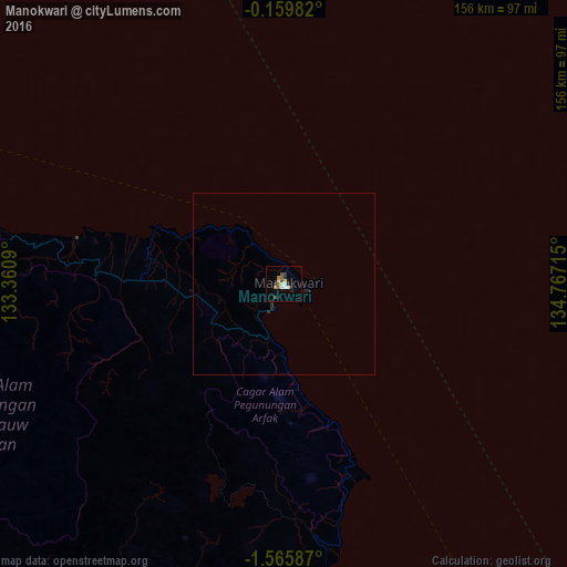
Analysis of Manokwari night lights 2016
Square area 10x10 km:
 1.52%
1.52%90-99
1.95%80-89
1.08%70-79
1.95%60-69
3.03%50-59
0.87%40-49
2.6%30-39
1.3%20-29
3.03%10-19
1.3%0-9
81.39%Square area 50x50 km:
0.06%90-99
0.08%80-89
0.04%70-79
0.08%60-69
0.12%50-59
0.03%40-49
0.1%30-39
0.07%20-29
0.25%10-19
0.08%0-9
99.08%Clear (daylight) street map image can be seen on geolist.org.
Map coordinates:
0° 9' 35.4" South, 133° 21' 39.2" East
0° 51' 46.5" South, 134° 3' 50.5" East
1° 33' 57.1" South, 134° 46' 1.7" East
Some cities around Manokwari sort by population:
• Ambon
725.3 km =450.7 mi,  244°
244°
• Sorong
311.6 km =193.6 mi,  269°
269°
• Amahai
634.5 km =394.3 mi, 244°
• Nabire
320.3 km =199 mi,  150°
150°
• Tual
549.5 km =341.4 mi,  195°
195°
• Tobelo
732.2 km =455 mi,  293°
293°
• Tobi Village, PW
540.3 km =335.7 mi,  322°
322°
• Sonsorol Village, PW
718 km =446.1 mi,  343°
343°
1636308 (p: 53,190)
Sources (retrieved 2019-11-25):
» NASA, Earths city lights 1995
» NASA city lights 2003
» Earth at Night: Flat Maps 2012, 2016