Amahai night lights from space
Night Light of Amahai (Maluku) from space (Indonesia) Src. Average luminocity for 10x10km area is 2.316% and for 50x50km: 0.1332%.
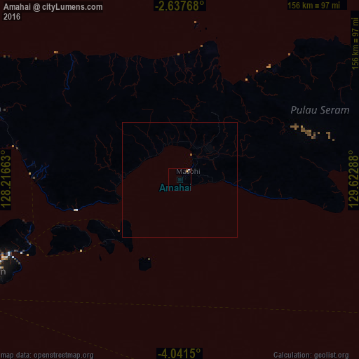
Analysis of Amahai night lights 2016
Square area 10x10 km:
 0.43%
0.43%90-99
0.43%80-89
0%70-79
0.87%60-69
0%50-59
0%40-49
0%30-39
1.52%20-29
0.65%10-19
0%0-9
96.1%Square area 50x50 km:
0.02%90-99
0.02%80-89
0%70-79
0.03%60-69
0%50-59
0.03%40-49
0%30-39
0.08%20-29
0.03%10-19
0%0-9
99.79%Clear (daylight) street map image can be seen on geolist.org.
Map coordinates:
2° 38' 15.6" South, 128° 12' 59.9" East
3° 20' 23.4" South, 128° 55' 11.1" East
4° 2' 29.4" South, 129° 37' 22.4" East
Some cities around Amahai sort by population:
• Ambon
90.8 km =56.4 mi,  244°
244°
• Sorong
377.5 km =234.6 mi,  43°
43°
• Ternate
489.9 km =304.4 mi,  339°
339°
• Tual
495.2 km =307.7 mi,  120°
120°
• Sofifi
477.9 km =297 mi, 341°
• Lospalos, TL
614.1 km =381.6 mi,  200°
200°
• Baukau, TL
632.7 km =393.1 mi,  205°
205°
• Tobelo
572.5 km =355.7 mi,  349°
349°
1651591 (p: 47,653)
Sources (retrieved 2019-11-25):
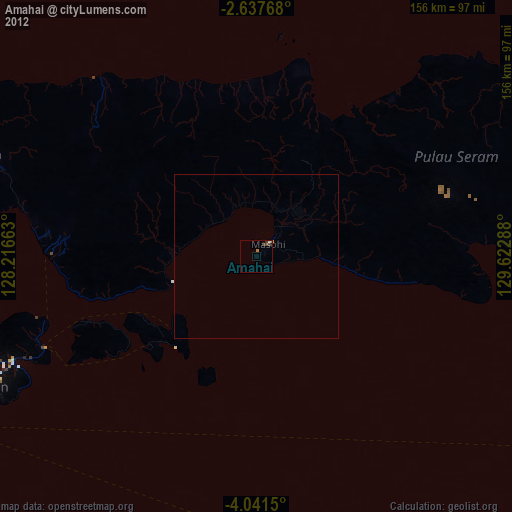
» Earth at Night: Flat Maps 2012, 2016