Kiunga night lights from space
Night Light of Kiunga (Western Province) from space (Papua New Guinea) Src. Average luminocity for 10x10km area is 3.6736% and for 50x50km: 0.1836%.
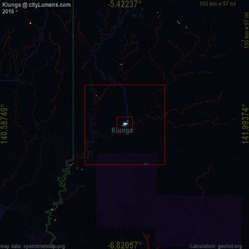
Analysis of Kiunga night lights 2016
Square area 10x10 km:
 0.83%
0.83%90-99
0.83%80-89
0%70-79
0%60-69
0%50-59
0%40-49
0%30-39
2.27%20-29
2.69%10-19
0.62%0-9
92.77%Square area 50x50 km:
0.03%90-99
0.03%80-89
0%70-79
0%60-69
0%50-59
0%40-49
0%30-39
0.13%20-29
0.13%10-19
0.11%0-9
99.56%Clear (daylight) street map image can be seen on geolist.org.
Map coordinates:
5° 25' 20.5" South, 140° 35' 15" East
6° 7' 18.9" South, 141° 17' 26.2" East
6° 49' 14.1" South, 141° 59' 37.5" East
Some cities around Kiunga sort by population:
• Mount Hagen
326.4 km =202.8 mi,  84°
84°
• Mendi
261.6 km =162.6 mi,  90°
90°
• Vanimo
382.3 km =237.6 mi,  0°
0°
• Tari
185.7 km =115.4 mi, 80°
• Ialibu
299.3 km =186 mi, 93°
• Aitape
352 km =218.7 mi,  19°
19°
• Wabag
277.9 km =172.7 mi, 75°
• Kurumul
370.6 km =230.3 mi, 85°
2093846 (p: 11,536)
Sources (retrieved 2019-11-25):
» Earth at Night: Flat Maps 2012, 2016