Abepura night lights from space
Night Light of Abepura (Papua) from space (Indonesia) Src. Average luminocity for 10x10km area is 25.9307% and for 50x50km: 4.8236%.
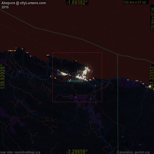
Analysis of Abepura night lights 2016
Square area 10x10 km:
 4.98%
4.98%90-99
7.36%80-89
1.95%70-79
1.3%60-69
0%50-59
0.65%40-49
2.81%30-39
4.76%20-29
11.47%10-19
25.76%0-9
38.96%Square area 50x50 km:
1.04%90-99
1.24%80-89
0.51%70-79
0.16%60-69
0.03%50-59
0.1%40-49
0.48%30-39
0.6%20-29
1.66%10-19
3.98%0-9
90.21%Clear (daylight) street map image can be seen on geolist.org.
Map coordinates:
1° 53' 37.8" South, 139° 55' 45.4" East
2° 35' 47" South, 140° 37' 56.6" East
3° 17' 54.9" South, 141° 20' 7.9" East
Some cities around Abepura sort by population:
• Jayapura
11.8 km =7.3 mi,  53°
53°
• Mendi, PG
517.9 km =321.8 mi,  139°
139°
• Wewak, PG
349.5 km =217.2 mi,  107°
107°
• Kiunga, PG
398.7 km =247.7 mi,  169°
169°
• Vanimo, PG
75 km =46.6 mi,  97°
97°
• Tari, PG
443.1 km =275.3 mi, 144°
• Aitape, PG
199.9 km =124.2 mi, 107°
• Wabag, PG
470.1 km =292.1 mi,  133°
133°
2082727 (p: 62,248)
Sources (retrieved 2019-11-25):
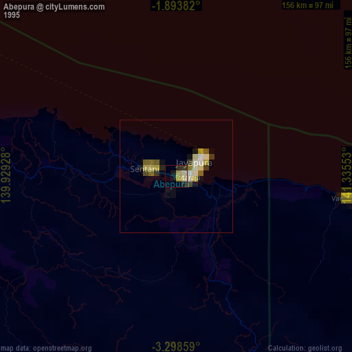
» NASA, Earths city lights 1995
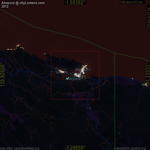
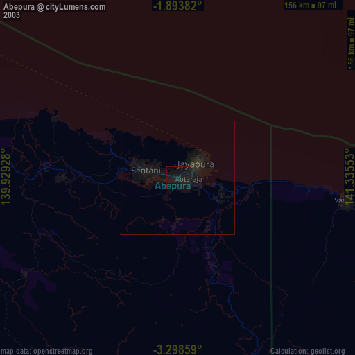
» NASA city lights 2003
» Earth at Night: Flat Maps 2012, 2016