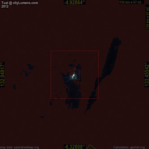
Tual night lights from space
Night Light of Tual (Maluku) from space (Indonesia) Src. Average luminocity for 10x10km area is 9.936% and for 50x50km: 0.4272%.

Analysis of Tual night lights 2016
Square area 10x10 km:
 1.24%
1.24%90-99
2.07%80-89
0.21%70-79
2.27%60-69
1.24%50-59
0.41%40-49
1.86%30-39
2.69%20-29
1.24%10-19
0%0-9
86.78%Square area 50x50 km:
0.05%90-99
0.09%80-89
0.01%70-79
0.09%60-69
0.05%50-59
0.02%40-49
0.08%30-39
0.11%20-29
0.05%10-19
0%0-9
99.45%Clear (daylight) street map image can be seen on geolist.org.
Map coordinates:
4° 55' 43.1" South, 132° 2' 57" East
5° 37' 43.6" South, 132° 45' 8.2" East
6° 19' 41.1" South, 133° 27' 19.5" East
Some cities around Tual sort by population:
• Ambon
550 km =341.8 mi,  293°
293°
• Sorong
553.4 km =343.9 mi,  342°
342°
• Manokwari
549.5 km =341.4 mi,  15°
15°
• Amahai
495.2 km =307.7 mi,  300°
300°
• Nabire
395.5 km =245.8 mi,  50°
50°
• Lospalos, TL
711.7 km =442.2 mi,  243°
243°
• Venilale, TL
778.9 km =484 mi, 244°
• Baukau, TL
763.4 km =474.4 mi,  245°
245°
1623197 (p: 39,502)
Sources (retrieved 2019-11-25):
» Earth at Night: Flat Maps 2012, 2016