Kendari night lights from space
Night Light of Kendari (Southeast Sulawesi) from space (Indonesia) Src. Average luminocity for 10x10km area is 57.7316% and for 50x50km: 4.4752%.
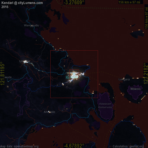
Analysis of Kendari night lights 2016
Square area 10x10 km:
 21.21%
90-99
17.75%80-89
3.25%70-79
1.08%60-69
4.76%50-59
1.52%40-49
3.68%30-39
9.74%20-29
17.53%10-19
18.61%0-9
0.87%Square area 50x50 km:
1.21%90-99
1.04%80-89
0.16%70-79
0.08%60-69
0.25%50-59
0.14%40-49
0.54%30-39
0.94%20-29
1.61%10-19
3.51%0-9
90.53%Clear (daylight) street map image can be seen on geolist.org.
Map coordinates:
3° 16' 33.9" South, 121° 48' 43" East
3° 58' 40.1" South, 122° 30' 54.3" East
4° 40' 44.1" South, 123° 13' 5.5" East
Some cities around Kendari sort by population:
• Parepare
320.5 km =199.1 mi,  269°
269°
• Palopo
279.6 km =173.7 mi,  293°
293°
• Watampone
250.4 km =155.6 mi,  255°
255°
• Sengkang
276.2 km =171.6 mi, 266°
• Luwuk
337.8 km =209.9 mi,  5°
5°
• Katabu
106.2 km =66 mi,  179°
179°
• Sinjai
281.3 km =174.8 mi,  243°
243°
• Rantepao
311.3 km =193.4 mi, 291°
1640344 (p: 195,006)
Sources (retrieved 2019-11-25):
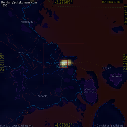
» NASA, Earths city lights 1995
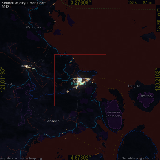
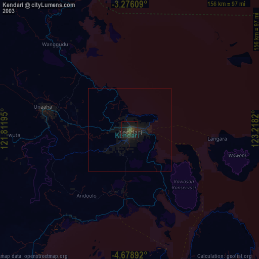
» NASA city lights 2003
» Earth at Night: Flat Maps 2012, 2016