Labuan Bajo night lights from space
Night Light of Labuan Bajo (East Nusa Tenggara) from space (Indonesia) Src. Average luminocity for 10x10km area is 8.3223% and for 50x50km: 0.3552%.
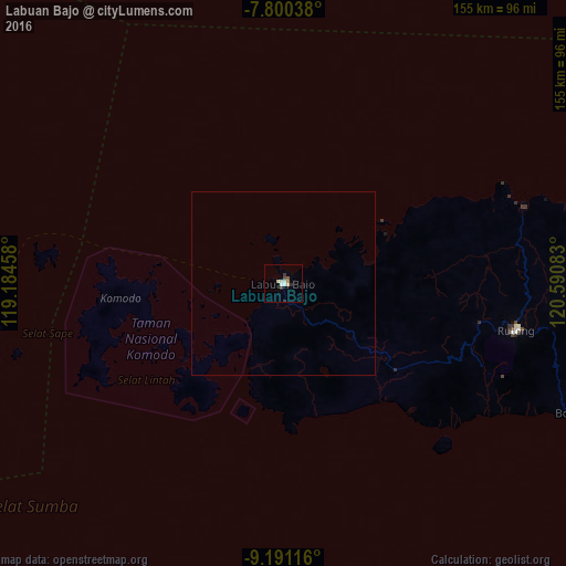

Analysis of Labuan Bajo night lights 2016
Square area 10x10 km:
 0.41%
0.41%90-99
3.31%80-89
1.24%70-79
0%60-69
0.83%50-59
0.83%40-49
0.83%30-39
2.07%20-29
0.83%10-19
0%0-9
89.67%Square area 50x50 km:
0.02%90-99
0.13%80-89
0.05%70-79
0%60-69
0.03%50-59
0.03%40-49
0.03%30-39
0.1%20-29
0.03%10-19
0%0-9
99.56%Clear (daylight) street map image can be seen on geolist.org.
Map coordinates:
7° 48' 1.4" South, 119° 11' 4.5" East
8° 29' 47" South, 119° 53' 15.7" East
9° 11' 28.2" South, 120° 35' 27" East
Some cities around Labuan Bajo sort by population:
• Galesong
358.2 km =222.6 mi,  350°
350°
• Ende
198.8 km =123.5 mi,  101°
101°
• Bima
127.7 km =79.3 mi,  271°
271°
• Sumbawa Besar
271.3 km =168.6 mi, 270°
• Dompu
156.7 km =97.4 mi, 268°
• Waingapu
135.5 km =84.2 mi,  162°
162°
• Maumere
255.8 km =158.9 mi,  93°
93°
• Ruteng
64.7 km =40.2 mi, 101°
1638868 (p: 188,724)
Sources (retrieved 2019-11-25):
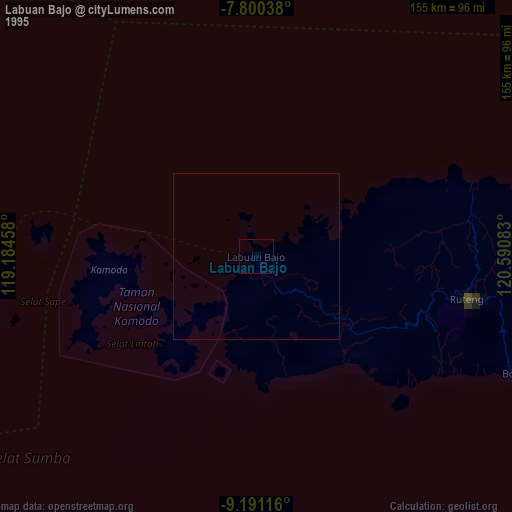
» NASA, Earths city lights 1995
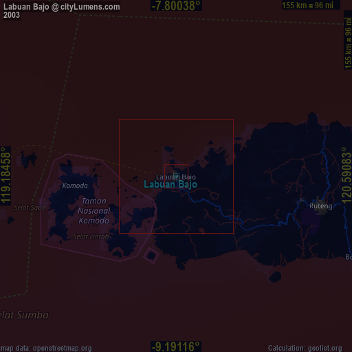
» NASA city lights 2003
» Earth at Night: Flat Maps 2012, 2016