Ende night lights from space
Night Light of Ende (East Nusa Tenggara) from space (Indonesia) Src. Average luminocity for 10x10km area is 12.4026% and for 50x50km: 1.7172%.
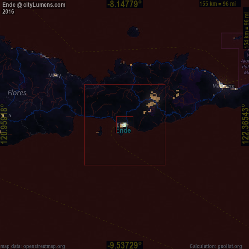
Analysis of Ende night lights 2016
Square area 10x10 km:
 0%
0%90-99
4.33%80-89
3.46%70-79
0%60-69
0%50-59
1.73%40-49
1.73%30-39
2.6%20-29
0.65%10-19
0.22%0-9
85.28%Square area 50x50 km:
0%90-99
0.17%80-89
0.14%70-79
0.08%60-69
0.71%50-59
0.71%40-49
0.08%30-39
0.17%20-29
0.03%10-19
0.42%0-9
97.49%Clear (daylight) street map image can be seen on geolist.org.
Map coordinates:
8° 8' 52" South, 120° 57' 33" East
8° 50' 35.5" South, 121° 39' 44.3" East
9° 32' 14.2" South, 122° 21' 55.5" East
Some cities around Ende sort by population:
• Kupang
259.4 km =161.2 mi,  124°
124°
• Labuan Bajo
198.8 km =123.5 mi,  281°
281°
• Waingapu
178.1 km =110.7 mi,  239°
239°
• Maumere
65.2 km =40.5 mi,  67°
67°
• Ruteng
134.1 km =83.3 mi, 281°
• Kefamenanu
316.3 km =196.5 mi,  102°
102°
• Soe
309.1 km =192.1 mi,  111°
111°
• Pante Makasar, TL
301.4 km =187.3 mi, 97°
1644932 (p: 77,205)
Sources (retrieved 2019-11-25):
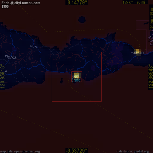
» NASA, Earths city lights 1995
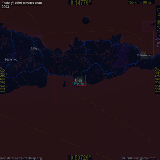
» NASA city lights 2003
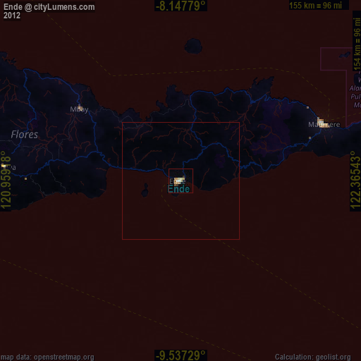
» Earth at Night: Flat Maps 2012, 2016