Dompu night lights from space
Night Light of Dompu (West Nusa Tenggara) from space (Indonesia) Src. Average luminocity for 10x10km area is 12.2603% and for 50x50km: 1.0655%.
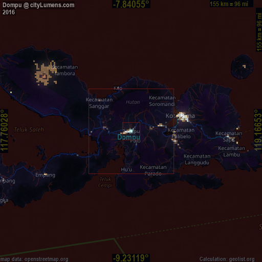

Analysis of Dompu night lights 2016
Square area 10x10 km:
 1.03%
1.03%90-99
4.75%80-89
0.62%70-79
0.21%60-69
0.62%50-59
1.45%40-49
1.24%30-39
3.1%20-29
1.45%10-19
1.65%0-9
83.88%Square area 50x50 km:
0.04%90-99
0.23%80-89
0.07%70-79
0.03%60-69
0.1%50-59
0.17%40-49
0.15%30-39
0.36%20-29
0.31%10-19
0.28%0-9
98.26%Clear (daylight) street map image can be seen on geolist.org.
Map coordinates:
7° 50' 26" South, 117° 45' 37" East
8° 32' 11.4" South, 118° 27' 48.2" East
9° 13' 52.3" South, 119° 9' 59.5" East
Some cities around Dompu sort by population:
• Mataram
258.1 km =160.4 mi,  268°
268°
• Labuan Bajo
156.7 km =97.4 mi,  88°
88°
• Bima
30.2 km =18.8 mi,  73°
73°
• Sumbawa Besar
114.8 km =71.3 mi, 272°
• Waingapu
233.7 km =145.2 mi,  122°
122°
• Praya
241.8 km =150.2 mi, 265°
• Ruteng
220.2 km =136.8 mi, 92°
• Labuan Lombok
197.6 km =122.8 mi, 271°
1645343 (p: 49,000)
Sources (retrieved 2019-11-25):
» NASA, Earths city lights 1995
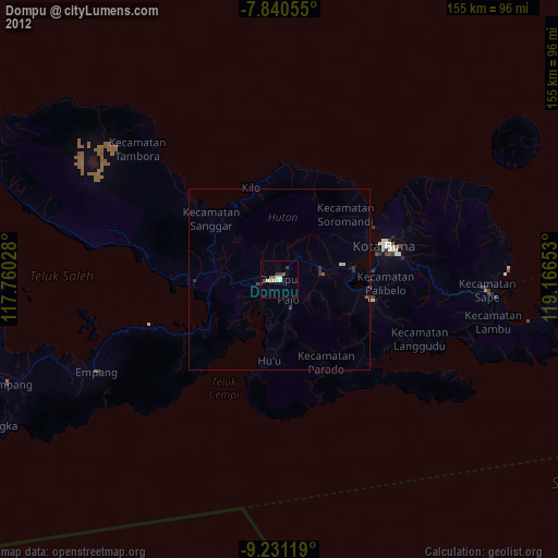
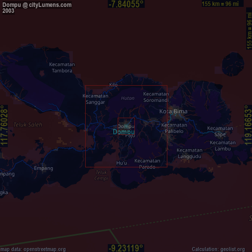
» NASA city lights 2003
» Earth at Night: Flat Maps 2012, 2016