Waingapu night lights from space
Night Light of Waingapu (East Nusa Tenggara) from space (Indonesia) Src. Average luminocity for 10x10km area is 15.4827% and for 50x50km: 0.6371%.

Analysis of Waingapu night lights 2016
Square area 10x10 km:
 2.6%
2.6%90-99
3.46%80-89
1.52%70-79
1.08%60-69
0%50-59
0%40-49
1.95%30-39
8.01%20-29
3.03%10-19
1.3%0-9
77.06%Square area 50x50 km:
0.1%90-99
0.13%80-89
0.06%70-79
0.04%60-69
0%50-59
0%40-49
0.08%30-39
0.31%20-29
0.12%10-19
0.08%0-9
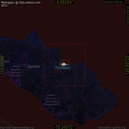
99.08%Clear (daylight) street map image can be seen on geolist.org.
Map coordinates:
8° 57' 46.2" South, 119° 33' 39.5" East
9° 39' 24.1" South, 120° 15' 50.8" East
10° 20' 56.9" South, 120° 58' 2" East
Some cities around Waingapu sort by population:
• Kupang
370.6 km =230.3 mi,  98°
98°
• Labuan Bajo
135.5 km =84.2 mi,  342°
342°
• Ende
178.1 km =110.7 mi,  59°
59°
• Bima
214.9 km =133.5 mi,  308°
308°
• Sumbawa Besar
338 km =210 mi,  292°
292°
• Dompu
233.7 km =145.2 mi,  302°
302°
• Maumere
242.8 km =150.9 mi, 61°
• Ruteng
118.3 km =73.5 mi,  10°
10°
1622318 (p: 48,828)
Sources (retrieved 2019-11-25):
» Earth at Night: Flat Maps 2012, 2016