Maumere night lights from space
Night Light of Maumere (East Nusa Tenggara) from space (Indonesia) Src. Average luminocity for 10x10km area is 15.9483% and for 50x50km: 0.9049%.
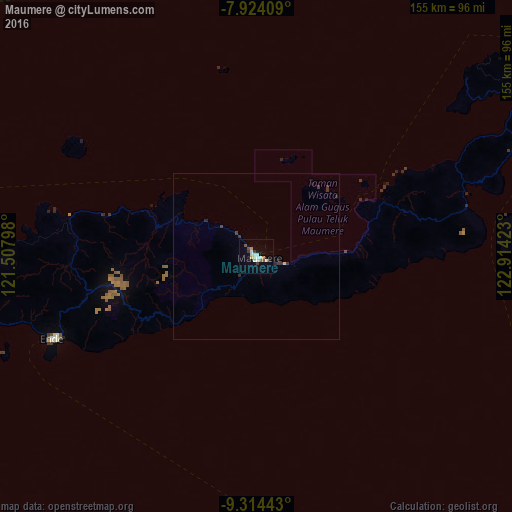
Analysis of Maumere night lights 2016
Square area 10x10 km:
 0%
0%90-99
6.2%80-89
2.07%70-79
2.27%60-69
1.03%50-59
0.83%40-49
1.65%30-39
2.27%20-29
1.03%10-19
1.24%0-9
81.4%Square area 50x50 km:
0%90-99
0.25%80-89
0.12%70-79
0.09%60-69
0.04%50-59
0.03%40-49
0.09%30-39
0.38%20-29
0.17%10-19
0.15%0-9
98.67%Clear (daylight) street map image can be seen on geolist.org.
Map coordinates:
7° 55' 26.7" South, 121° 30' 28.7" East
8° 37' 11.6" South, 122° 12' 40" East
9° 18' 51.9" South, 122° 54' 51.2" East
Some cities around Maumere sort by population:
• Kupang
230.6 km =143.3 mi,  138°
138°
• Labuan Bajo
255.8 km =158.9 mi,  273°
273°
• Ende
65.2 km =40.5 mi,  247°
247°
• Waingapu
242.8 km =150.9 mi,  241°
241°
• Ruteng
192 km =119.3 mi, 270°
• Kefamenanu
265.4 km =164.9 mi,  110°
110°
• Soe
266.1 km =165.3 mi,  121°
121°
• Pante Makasar, TL
247.2 km =153.6 mi, 105°
1635815 (p: 47,598)
Sources (retrieved 2019-11-25):
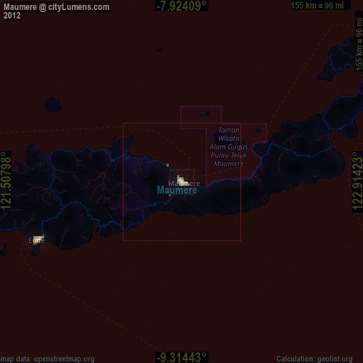
» Earth at Night: Flat Maps 2012, 2016