Bima night lights from space
Night Light of Bima (West Nusa Tenggara) from space (Indonesia) Src. Average luminocity for 10x10km area is 28.0413% and for 50x50km: 1.9231%.

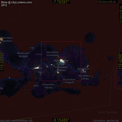

Analysis of Bima night lights 2016
Square area 10x10 km:
 3.93%
3.93%90-99
8.26%80-89
5.99%70-79
0.83%60-69
0.83%50-59
1.65%40-49
3.72%30-39
3.31%20-29
0%10-19
28.1%0-9
43.39%Square area 50x50 km:
0.16%90-99
0.42%80-89
0.3%70-79
0.06%60-69
0.13%50-59
0.18%40-49
0.25%30-39
0.4%20-29
0.31%10-19
1.44%0-9
96.35%Clear (daylight) street map image can be seen on geolist.org.
Map coordinates:
7° 45' 50.3" South, 118° 1' 24.8" East
8° 27' 36.2" South, 118° 43' 36" East
9° 9' 17.6" South, 119° 25' 47.3" East
Some cities around Bima sort by population:
• Mataram
287.3 km =178.5 mi,  267°
267°
• Labuan Bajo
127.7 km =79.3 mi,  91°
91°
• Sumbawa Besar
143.7 km =89.3 mi, 268°
• Dompu
30.2 km =18.8 mi,  253°
253°
• Waingapu
214.9 km =133.5 mi,  128°
128°
• Praya
271.4 km =168.6 mi,  264°
264°
• Ruteng
191.8 km =119.2 mi,  95°
95°
• Labuan Lombok
226.6 km =140.8 mi, 268°
1648759 (p: 66,970)
Sources (retrieved 2019-11-25):
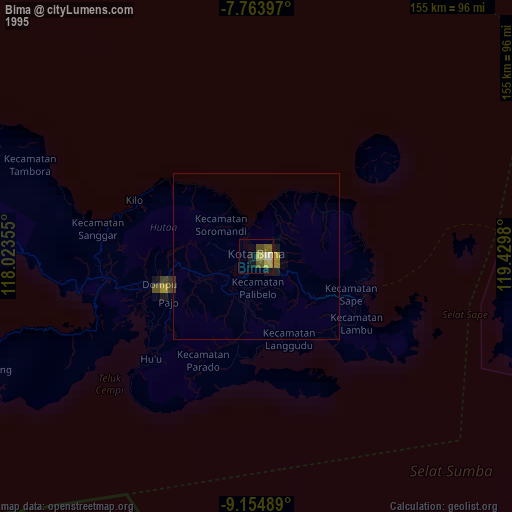
» NASA, Earths city lights 1995
» NASA city lights 2003
» Earth at Night: Flat Maps 2012, 2016