Katabu night lights from space
Night Light of Katabu (Southeast Sulawesi) from space (Indonesia) Src. Average luminocity for 10x10km area is 0% and for 50x50km: 0.2602%.
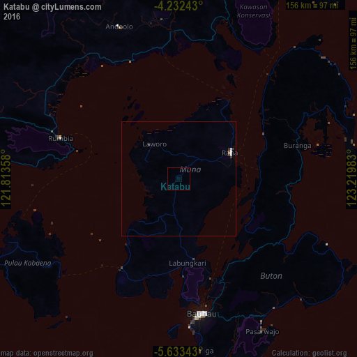
Analysis of Katabu night lights 2016
Square area 10x10 km:
 0%
0%90-99
0%80-89
0%70-79
0%60-69
0%50-59
0%40-49
0%30-39
0%20-29
0%10-19
0%0-9
100%Square area 50x50 km:
0.03%90-99
0.11%80-89
0%70-79
0.02%60-69
0.02%50-59
0%40-49
0.03%30-39
0.13%20-29
0.04%10-19
0%0-9
99.62%Clear (daylight) street map image can be seen on geolist.org.
Map coordinates:
4° 13' 56.7" South, 121° 48' 48.9" East
4° 55' 59.9" South, 122° 31' 0.1" East
5° 38' 0.3" South, 123° 13' 11.4" East
Some cities around Katabu sort by population:
• Makassar
342.5 km =212.8 mi,  265°
265°
• Kendari
106.2 km =66 mi,  359°
359°
• Parepare
336.4 km =209 mi,  287°
287°
• Palopo
335.8 km =208.7 mi,  309°
309°
• Watampone
246.5 km =153.2 mi,  280°
280°
• Sengkang
289.8 km =180.1 mi, 287°
• Sinjai
251.6 km =156.3 mi, 265°
• Maros
326.2 km =202.7 mi, 268°
1640972 (p: 42,750)
Sources (retrieved 2019-11-25):
» Earth at Night: Flat Maps 2012, 2016