Yoro night lights from space
Night Light of Yoro from space (Honduras) Src. Average luminocity for 10x10km area is 6.4298% and for 50x50km: 0.3809%.
Analysis of Yoro night lights 2016
Square area 10x10 km:
 0%
0%90-99
0.41%80-89
2.07%70-79
0.83%60-69
1.03%50-59
1.45%40-49
0.41%30-39
2.48%20-29
0.41%10-19
0.41%0-9
90.5%Square area 50x50 km:
0%90-99
0.02%80-89
0.12%70-79
0.03%60-69
0.04%50-59
0.09%40-49
0.07%30-39
0.17%20-29
0.02%10-19
0.1%0-9
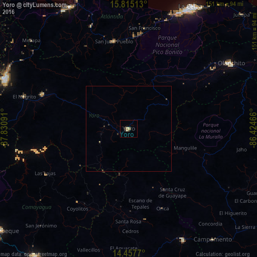
99.34%Clear (daylight) street map image can be seen on geolist.org.
Map coordinates:
15° 48' 54.5" North, 87° 49' 51.3" West
15° 8' 15" North, 87° 7' 40" West
14° 27' 27.7" North, 86° 25' 28.8" West
Some cities around Yoro sort by population:
• El Progreso
77.8 km =48.3 mi,  292°
292°
• Olanchito
70.6 km =43.9 mi,  57°
57°
• Guaimaca
75 km =46.6 mi,  153°
153°
• Santa Rita
17 km =10.6 mi,  280°
280°
• Morazán
54.4 km =33.8 mi, 291°
• El Negrito
64.5 km =40.1 mi, 287°
• Mezapa
74.8 km =46.5 mi,  311°
311°
• San Juan Pueblo
50.8 km =31.6 mi,  347°
347°
3600195 (p: 15,774)
Sources (retrieved 2019-11-25):
» Earth at Night: Flat Maps 2012, 2016