Guaimaca night lights from space
Night Light of Guaimaca (Francisco Morazán) from space (Honduras) Src. Average luminocity for 10x10km area is 8.0909% and for 50x50km: 0.4807%.
Analysis of Guaimaca night lights 2016
Square area 10x10 km:
 0%
0%90-99
2.38%80-89
2.81%70-79
0%60-69
0.22%50-59
0.65%40-49
1.73%30-39
1.3%20-29
2.16%10-19
0%0-9
88.74%Square area 50x50 km:
0%90-99
0.11%80-89
0.12%70-79
0%60-69
0.04%50-59
0.11%40-49
0.12%30-39
0.11%20-29
0.08%10-19
0.03%0-9
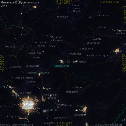
99.28%Clear (daylight) street map image can be seen on geolist.org.
Map coordinates:
15° 12' 46.4" North, 87° 31' 11.3" West
14° 31' 60" North, 86° 49' 0" West
13° 51' 6" North, 86° 6' 48.8" West
Some cities around Guaimaca sort by population:
• Tegucigalpa
65.5 km =40.7 mi,  219°
219°
• Danlí
61 km =37.9 mi,  155°
155°
• Juticalpa
65.9 km =40.9 mi,  77°
77°
• Yoro
75 km =46.6 mi,  333°
333°
• Talanga
32.3 km =20.1 mi,  242°
242°
• Campamento
18 km =11.2 mi, 84°
• Villa de San Francisco
43.9 km =27.3 mi,  201°
201°
• Yuscarán
65.7 km =40.8 mi,  183°
183°
3609418 (p: 12,899)
Sources (retrieved 2019-11-25):
» Earth at Night: Flat Maps 2012, 2016